Time zone IST (UTC+5:30) Elevation 651 m | Telephone code 02551 Area code 02551 | |
 | ||
Pandhurli is a village and a municipal council in Sinnar taluka of Nashik district in the Indian state of Maharashtra.
Contents
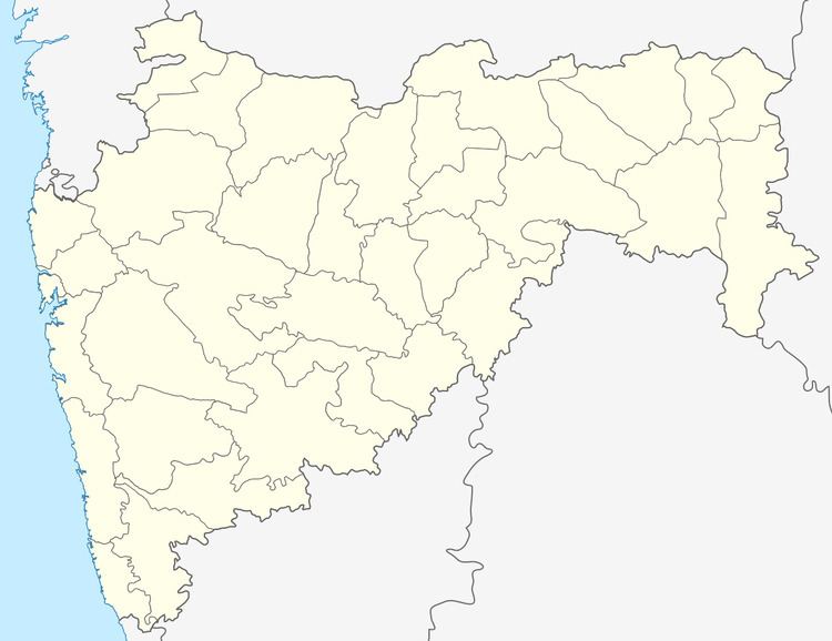
Map of Pandhurli, Maharashtra 422502
Geography
Pandhurli (Marathi-पांढुर्ली) is located at 19.829052°N 73.854745°E / 19.829052; 73.854745 It has an average elevation of 562 metres (1843 feet). It lies 23 km southeast of Nashik city on the Nagpur–Aurangabad–Mumbai Highway.
Demographics
As of 2001 India census, Pandhurli had a population of 4,500.
References
Pandhurli Wikipedia(Text) CC BY-SA
