
PIN 711322 Elevation 7 m Local time Wednesday 3:59 AM | Time zone IST (UTC+5:30) Telephone code 91 3214 Population 26,432 (2001) | |
 | ||
Weather 21°C, Wind SE at 6 km/h, 92% Humidity | ||
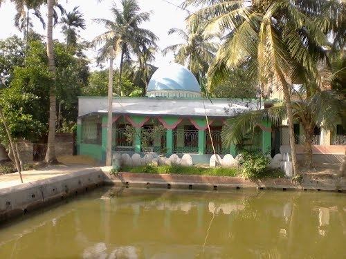
Panchla is a census town in Panchla CD Block and police station in Sadar subdivision of Howrah district in the Indian state of West Bengal.
Contents
Map of Panchla, West Bengal
Geography
Panchla is located at 22.54°N 88.14°E / 22.54; 88.14. It has an average elevation of 7 metres (22 feet).
Demographics
As per 2011 Census of India Panchla had a total population of 26,432 of which 13,573 (51%) were males and 12,859 (49%) were females. Population below 6 years was 3,528. The total number of literates in Panchla was 18,730 (81.78 % of the population over 6 years).
As of 2001 India census, Panchla had a population of 22,087. Males constitute 52% of the population and females 48%. Panchla has an average literacy rate of 63%, higher than the national average of 59.5%: male literacy is 69%, and female literacy is 58%. In Panchla, 15% of the population is under 6 years of age.
Economics
Zardozi embroidery with gold zari, seed pearls, sequins and beads is mainly produced by Muslim craftsmen of Panchla with six basic designs – leaf, flower, bird, animal, geometric and filler. This ornamental and dramatic embellishment is being used to create exclusive garments and accessories by leading fashion houses worldwide.