
Regional unit Arcadia Time zone EET (UTC+2) Elevation 670 m Area code 27960 | Postal code 220 17 Local time Friday 4:26 PM | |
 | ||
Weather 17°C, Wind SW at 6 km/h, 48% Humidity | ||
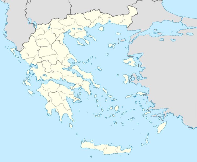
Dara (Greek: Δάρα, also Δάρας - Daras) is a community in the municipal unit of Levidi, northern Arcadia, Greece. It is situated on a mountain slope near the border with Achaea. It is 2 km southeast of Pankrati (Achaea), 5 km northeast of Prasino, 16 km north of Vytina and 16 km northeast of Levidi. The Greek National Road 33 (Patras - Levidi) passes south of the village. Dara has a historical folklore museum displaying the woodcarvings of Giannis Bakopoulos.
Map of Dara 220 02, Greece
References
Dara, Greece Wikipedia(Text) CC BY-SA