
Prominence 143 m | Elevation 2,859 m Mountain range Rätikon | |
 | ||
Similar Schesaplana, Wildberg, Naafkopf, Zimba, Mottakopf | ||
The Panüeler Kopf (also called Panüler Kopf, Panüeler Kopf, short Panüeler or Panüler) is a mountain in the Austrian state Vorarlberg. The Panüeler Kopf is part of the Schesaplana group and with an elevation of 2,859 m (AA) the second highest mountain in the Rätikon mountain range. The 950 m high west face is the highest rock face in the Rätikon.
Contents
Map of Pan%C3%BCelerkopf, 6708, Austria
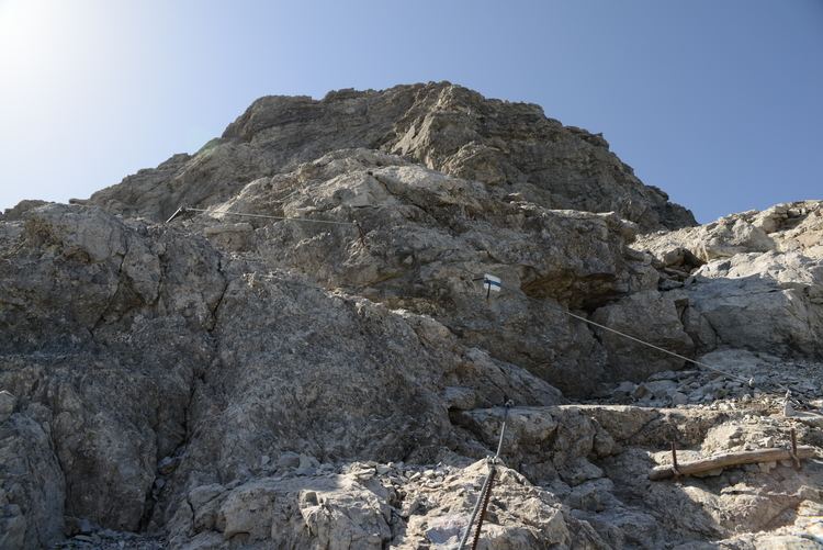
Ascents
Ascents from alpine club huts:
Climbing:
References
Panüelerkopf Wikipedia(Text) CC BY-SA