
 | ||
Pamidovo Nunatak (Bulgarian: нунатак Памидово, ‘Nunatak Pamidovo’ \'nu-na-tak pa-'mi-do-vo) is the rocky ridge extending 4.42 km in west-southwest to east-northeast direction, 1.18 km wide, and rising to 850 m in Voden Heights on Oscar II Coast in Graham Land. It surmounts Fleece Glacier to the southwest. Named after the settlement of Pamidovo in Southern Bulgaria.
Contents
Location
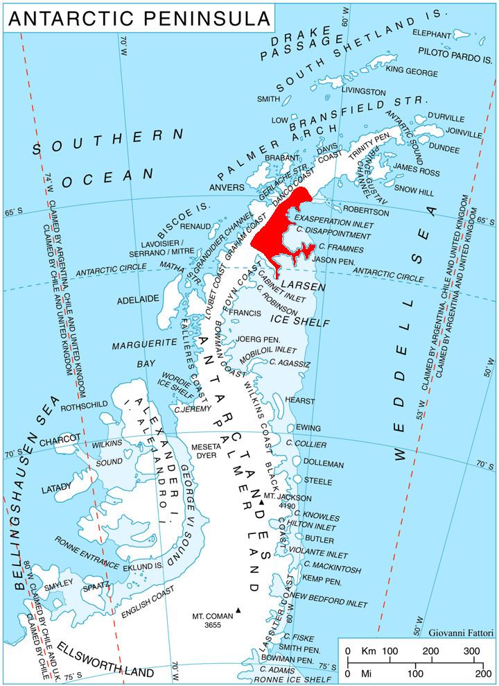
Pamidovo Nunatak is located at 65°52′17″S 62°59′31″W, which is 9 km southeast of Mount Izvor, 8.46 km west-northwest of Adit Nunatak, and 10.05 km northeast of Moider Peak. British mapping in 1976.
Maps
References
Pamidovo Nunatak Wikipedia(Text) CC BY-SA