
Country United States Established 1986 Area 84 ha Population 710 (2000) | Time zone Eastern (EST) (UTC-5) Zip code 40513 Area code 859 | |
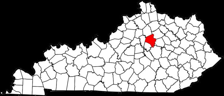 | ||
Palomar Hills is a neighborhood in southwestern Lexington, Kentucky, United States. Its boundaries are Harrodsburg Road to the east, Man o' War Boulevard to the north, Bowman Mill Road to the south, and the Lexington urban growth boundary to the west.
Neighborhood statistics
References
Palomar Hills, Lexington Wikipedia(Text) CC BY-SA