
Topo map USGS Palen Mountains Country United States of America | Elevation 596 m | |
 | ||
Similar Big Maria Mountains, Chuckwalla Mountains, Turtle Mountains, Orocopia Mountains, Stepladder Mountains | ||
The Palen Mountains are located in the southern Mojave Desert – northern Colorado Desert in eastern Riverside County, California, USA. The range lies southeast of the Coxcomb Mountains, and northeast of the Chuckwalla Mountains near Interstate 10. The mountains lie in a southwest-northeasterly direction, and are approximately 15 miles long and nine miles wide at their widest point.
Contents
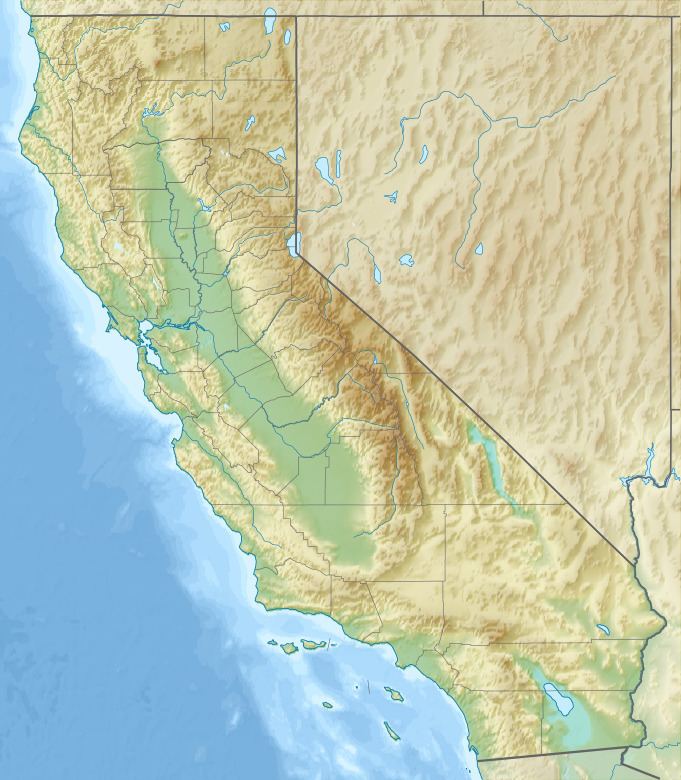
- Map of Palen Mountains California USA
- Desert Lily PreserveEdit
- PalenMcCoy Wilderness AreaEdit
- References
Map of Palen Mountains, California, USA
Desert Lily PreserveEdit
Palen Pass, at 1,472 feet above sea level, lies at the northern end of the chain, with Palen Dry Lake and the Bureau of Land Management designated and managed Edmund C. Jaeger Nature Sanctuary to the west of the range in the southern Palen Valley. It preserves the beautiful Desert Lily (Hesperocallis undulata), many other native desert plants, and an important undeveloped "land bridge" wildlife corridor.
Palen/McCoy Wilderness AreaEdit
The Palen Mountains are in the Palen/McCoy Wilderness Area, managed by the Bureau of Land Management.
Within the Palen-McCoy Wilderness are the Palen, Granite, Arica, Little Maria, and McCoy Mountains, which are five distinct mountain ranges separated by broad sloping alluvial fans-bajadas. Because this large area incorporates so many major geological features, the diversity of vegetation and landforms is exceptional. The desert wash woodland found here provides food and cover for burro deer, coyote, bobcat, gray fox, and mountain lion. Desert pavement, bajadas, interior valleys, canyons, dense ironwood forests, canyons and rugged peaks form a constantly changing landscape pattern.