Prominence 74 m | Elevation 2,279 m Mountain range Lepontine Alps | |
 | ||
Similar Piz Aul, Piz Tomül, Piz Sezner, Piz Fess, Piz Mundaun | ||
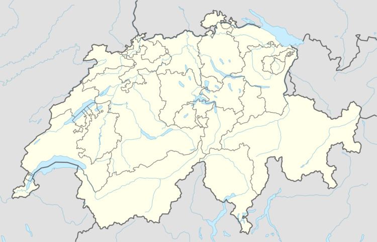
The Pala da Tgiern is a mountain of the Swiss Lepontine Alps, overlooking Suraua in the canton of Graubünden. It lies north of the Crap Grisch, in the Val Lumnezia.
Map of Pala da Tgiern, 7113 Lumnezia, Switzerland
References
Pala da Tgiern Wikipedia(Text) CC BY-SA
