
Country United States County Lewis GNIS feature ID 1524132 Zip code 98361 Local time Monday 5:42 AM Number of airports 1 | Time zone PST (UTC−8) Elevation 321 m Population 1,330 (2010) Area code 360 | |
 | ||
Weather 1°C, Wind NE at 11 km/h, 67% Humidity | ||
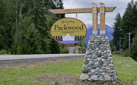
Packwood is an unincorporated community located in easternmost Lewis County, Washington.
Contents
Map of Packwood, WA 98361, USA
Packwood is located at the intersection of US Highway 12 and Gifford Pinchot National Forest Road 52 (Skate Creek Road). It is located between Mount Rainier National Park to the north and Mt. St. Helens National Volcanic Monument to the south. Tatoosh Wilderness, Goat Rocks Wilderness, and William O. Douglas Wilderness are to the north, southeast, and northeast respectively, with the Gifford Pinchot National Forest as a buffer in all directions. Packwood is located in the upper Cowlitz valley, just downstream of the confluence of the Muddy and Clear forks of the Cowlitz. The White Pass Ski Area and Cascade Crest demark the eastern edge of the Packwood area, the town of Randle the west, and large expanses of forest, wilderness, and parkland the north and south.
Packwood was established as Sulphur Springs.
Geography
Packwood is located at 46°36′14″N 121°40′40″W (46.6040008, -121.6778664). Although Packwood itself is unincorporated, the town and surrounding areas (especially the residential communities of High Valley and Timberline) have an approximate population of 1,330.
Packwood is located in the White Pass School District, which, in addition to Packwood, covers the small towns of Randle and Glenoma, Washington and the vast forested expanse in extreme eastern Lewis County, terminating at the Cascade Mountains and the county border with Yakima County, Washington. In 2004, the town's school-age population dropped to the point that the local K-6 elementary school was shuttered, although the building is still used as a county sheriff's substation, a local historical museum, and for hosting other community events.
Climate
According to the Köppen Climate Classification system, Packwood has a warm-summer Mediterranean climate, abbreviated "Csb" on climate maps.
History
The name Packwood, used for the town, a mountain pass, and a lake, honors William Packwood, a Virginian pioneer and explorer of Oregon and Washington. Packwood and James Longmire, were tasked by the Washington Territorial Legislature to chart a low pass over the Cascade Mountains, this necessitated by the deaths of several delegates in their journey to the first legislative session. As a mark of their successes in this venture, the charted pass - called the Packwood Saddle - is still unused by any road, trail, or other conveyance to pass between the east and west sides of the Cascades.
Economy
The town of Packwood has historically relied on the forest products industry as an economic engine, supplemented by government employment (via the National Forest and Park Services) and seasonal tourism. In the late 1990s, the Forest Service began consolidation of many ranger stations, with the result that Forest Service jobs moved to the town of Randle and the new Cowlitz Valley Ranger Station. Shortly thereafter, several factors, including the Asian financial crisis, decreased logging on federal lands, and depression in lumber prices, brought the closing of the Packwood Lumber Mill. Due to the limited economic opportunity, the town's housing consists heavily of summer housing for snowbirds, retirement homes, and vacation cabins. The influx of retirees and determination of long-time locals has led to a recent civic revival in the town, however. Several local organizations seek to promote the tourism opportunities of the town, improve tourist and vacation infrastructure, and plan for the long-term economic revitalization of the town. The decades-old Annual Packwood Flea Market now attracts tens of thousands during the Memorial Day and Labor Day weekends, and the recently expanded White Pass Ski Area provides a steady flow of visitors during the otherwise tourism-slow winter months. A new art gallery, along with a heritage museum housed in the old school building, are indicative of increasing diversity and economic revitalization in the area.
Transportation
Packwood is accessible year-round by private vehicle on US 12, and seasonally by SR 123 and several forest service roads. The general aviation Packwood Airport is located three blocks west of highway 12 in downtown Packwood, and L.E.W.I.S. Mountain Highway Transit provides multiple weekday public transportation to Centralia-Chehalis, including connections to Amtrak and Greyhound.