
 | ||
The Pacific Railroad Surveys (1853–1855) consisted of a series of explorations of the American West to find possible routes for a transcontinental railroad across North America. The expeditions included surveyors, scientists, and artists and resulted in an immense body of data covering at least 400,000 square miles (1,000,000 km2) on the American West. "These volumes... constitute probably the most important single contemporary source of knowledge on Western geography and history and their value is greatly enhanced by the inclusion of many beautiful plates in color of scenery, native inhabitants, fauna and flora of the Western country." Published by the United States War Department from 1855 to 1860, the surveys contained significant material on natural history, including many illustrations of reptiles, amphibians, birds, and mammals. In addition to describing the route, these surveys also reported on the geology, zoology, botany, paleontology of the land as well as provided ethnographic descriptions of the Native peoples encountered during the surveys.
Contents
Background
Starting in the late 18th and early 19th centuries, many Americans began a westward migration that would come to greatly influence the development American history. However, water travel remained the most common and most efficient form of transit available. Soon, the development of the steam engine became an invaluable contribution to this westward expansion. As railroads gained popularity in the eastern United States during the 1830s, Americans felt an increased incentive to expand this new technology to the western frontier.
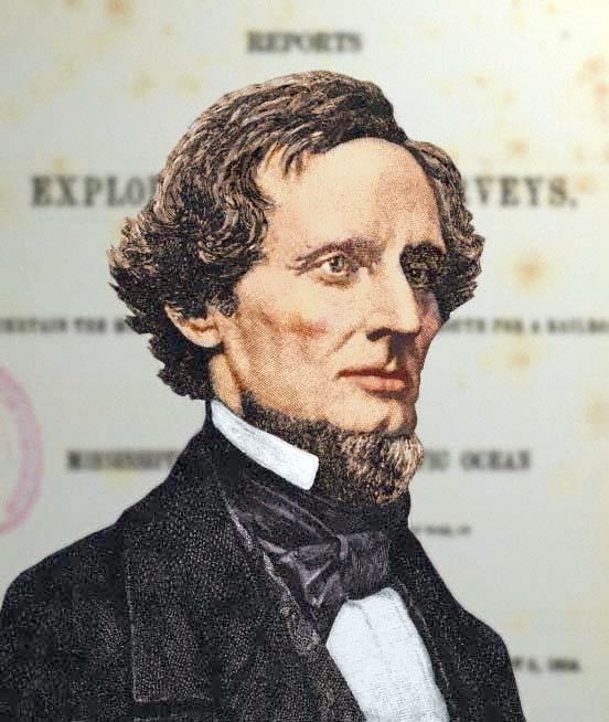
Beginning in the 1840s, several government sponsored expeditions hoped to find potential railroad routes across the west. However, no consensus route emerged due to the selfish economic motives of rival companies. In addition, cities and states competed for the route and terminus so no consensus was reached. Southerns states and cities wanted to use the railroad to extend slavery; northern ones the opposite. Brigham Young, President of LDS Church, wrote, "We never went through the canyons or worked our way over the dividing ridges without asking where the rails could be laid." On March 3, 1853, Congress appropriated $150,000 and authorized Secretary of War Jefferson Davis “to Ascertain the Most Practical and Economical Route for a Railroad From the Mississippi River to the Pacific Ocean.” Davis ordered Brevet Captain George B. McClellan and the Corps of Topographical Engineers (TOPOGS), a division in the United States Army established to “discover, open up, and make accessible the American West,” to fulfill this obligation.
The most important concern for the United States Congress involved the location of where to build the railroad. With government involvement, lobbyists attempted to influence the selected locations because of the important social, political, and economic consequences. In addition, a transcontinental railroad would become a very costly endeavor. In fact, “Even the least expensive proposed routes would equal the federal budget for one year.” Despite these obstacles, a developing urgency clearly indicated the need for a transcontinental railroad. On August 16, 1856, Mr. Denver of the House Select Committee on the Pacific Railroad and Telegraph reported that: "the necessity that exists for constructing lines of railroad and telegraphic communication between the Atlantic and Pacific coasts of this continent is no longer a question for argument; it is conceded by every one."
Five surveys
Five surveys were conducted.
From surveys to construction
The Pacific Railroad Surveys provided valuable information to determining the best location of the transcontinental railroad. In addition, three important trends also influenced Congress’ final decision. First, the California Gold Rush and the discovery of silver in Nevada led to a dramatic increase in population in the west. Second, the secession of the South from the Union during the beginnings of the American Civil War discounted southern politicians from interfering with a plan to build a northern route. Third, a growing popularity of railroad specialists allowed Congress several options to consider the most efficient and cost effective route to build a transcontinental railroad.
In 1862, Congress passed the Pacific Railway Act. The Union Pacific Railroad Company would build continuous railroad and telegraph lines west from the Eastern shores of the Missouri River at Council Bluffs, Iowa (opposite Omaha, Nebraska) which would meet railroad and telegraph lines build east by the Central Pacific Railroad from the navigable waters of the Sacramento River in Sacramento, California. On May 10, 1869, the two rail lines joined with an honorary Golden Spike at Promontory Summit after making a combined 1,774 miles (2,855 km) of railroad track.