
Time zone CET (UTC+1) Area 187 km² Local time Monday 4:28 AM | County Hajdú-Bihar Postal code 4150 Population 16,126 (2001) Area code 54 | |
 | ||
Weather 6°C, Wind SW at 13 km/h, 92% Humidity Points of interest Hortobágy National Park, Karacs Ferenc Múzeum, Püspökladány‑Farkasszigeti Arborétum | ||
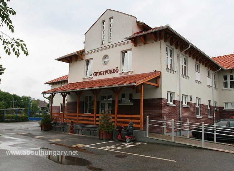
Püspökladány (pronounced [ˈpyʃpøklɒdaːɲ]) is the sixth largest town of Hajdú-Bihar county in North Eastern Hungary with a population of approximately 16,000 people. It is located southwest of Debrecen at the juncture of three regions: Sárrét, Hortobágy and Nagykunság. It is an important transportation hub at the junction of national highway 4 from Budapest to Záhony, and national highway No. 42 from Romania to Biharkeresztes. The town is served by four different rail lines.
Contents
Map of P%C3%BCsp%C3%B6klad%C3%A1ny, 4150 Hungary
Twin towns — Sister cities
Püspökladány is twinned with:
References
Püspökladány Wikipedia(Text) CC BY-SA