
Time zone CET (UTC+1) Local time Monday 4:11 AM | Elevation 475 m (1,558 ft) Postal code 3593 Population 998 (1 Apr 2009) | |
 | ||
Weather 10°C, Wind W at 13 km/h, 73% Humidity Points of interest Kamp, Burgruine Dobra, Schloss Waldreichs, Falknerei und Greifvoge | ||
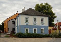
Pölla is a municipality in the district of Zwettl in the Austrian state of Lower Austria.
Contents
Map of Gemeinde P%C3%B6lla, Austria
Geography
It is situated roughly in the center of the northwestern region of the Austrian state called Waldviertel. About 46 per cent of the municipality is forested.
Subdivision
The municipality of Pölla consists of:
References
Pölla Wikipedia(Text) CC BY-SA