
Rural okrugs 5 Area 92,255 km² | Settlements 2 Urban-type settlements 2 Founded 20 May 1931 | |
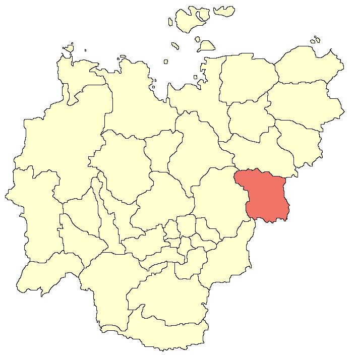 | ||
Oymyakonsky District (Russian: Оймяко́нский улу́с; Yakut: Өймөкөөн улууһа, Öymököön uluuha, [øjmøkøːn uluːha]) is an administrative and municipal district (raion, or ulus), one of the thirty-four in the Sakha Republic, Russia. It is located in the east of the republic and borders with Ust-Maysky District in the southwest, Tomponsky District in the west, Momsky District in the north, Magadan Oblast in the east, and with Khabarovsk Krai in the south. The area of the district is 92,300 square kilometers (35,600 sq mi). Its administrative center is the urban locality (a settlement) of Ust-Nera. Population: 10,109 (2010 Census); 14,670 (2002 Census); 31,078 (1989 Census). The population of Ust-Nera accounts for 63.9% of the district's total population.
Contents
- Map of Oymyakonsky District Sakha Republic Russia
- Geography
- Climate
- History
- Demographics
- Economy
- Transportation
- Inhabited localities
- References
Map of Oymyakonsky District, Sakha Republic, Russia
Geography
The landscape of the district is mostly mountainous. The main river is the Indigirka. There are many lakes in the district, with Labynkyr Lake in particular being famous for its mythical Labynkyr monster.
Climate
The rural locality of Oymyakon is the Pole of Cold of the northern hemisphere, with the temperature of −67.7 °C (−89.9 °F) having been recorded in February 1933. Average January temperature ranges from −41 to −51 °C (−42 to −60 °F). Average July temperature ranges from +8 to +19 °C (46 to 66 °F). Average precipitation ranges from 150–200 millimeters (5.9–7.9 in) in the valleys to 600 millimeters (24 in) in the mountains.
History
The district was established on May 20, 1931.
Demographics
From 1989 to 2007, the district's population, mostly represented by Russians (57%), Yakuts (23%), Ukrainians (10%), and Evenks (8%), declined by nearly 55%.
Economy
The economy of the district is based mostly on mining and agriculture. There are deposits of gold, silver, tin, tungsten, lead, zinc, and antimony in the district.
Transportation
The M56 Kolyma Highway runs through the district, connecting it with Yakutsk and Magadan.
Inhabited localities
Divisional source:
Population source:
*Administrative centers are shown in bold