
Topo map OS Explorer 157 | OS grid SU118679 Elevation 174 m | |
 | ||
Similar The Sanctuary, Kennet Avenue, West Kennet Long Barr, Ivinghoe Beacon, Silbury Hill | ||
Overton hill nr east kennett crop circle 27 8 2016
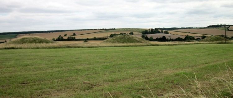
Overton Hill is a 571 ft (174 m) hill at the southern edge of the Marlborough Downs in Wiltshire, England. It is situated just west of the village of West Overton and about 4 miles (6 km) west from the town of Marlborough. The A4 road passes close to the north.
Contents
- Overton hill nr east kennett crop circle 27 8 2016
- Map of Overton Hill Marlborough UK
- Overton hill to the devils den walk 6 feb 2011 wmv
- References
Map of Overton Hill, Marlborough, UK
The hill is notable for being the start point of the Ridgeway National Trail. There are several round barrows (burial mounds) on it, and it is the site of a wooden circle known as The Sanctuary, indicating human activity for thousands of years. The hill is part of the Avebury section of the Stonehenge and Avebury World Heritage Site.
Overton hill to the devils den walk 6 feb 2011 wmv
References
Overton Hill Wikipedia(Text) CC BY-SA