
District Safranbolu Postal code 78640 Elevation 360 m | Time zone EET (UTC+2) Licence plate 78 Area code 0370 | |
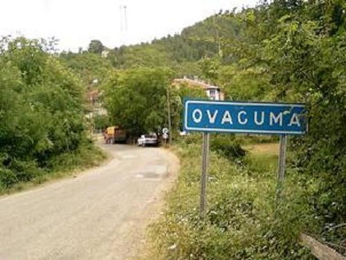 | ||
Ovacuma is a belde (town) in Safranbolu district of Karabük Province, Turkey. The town is situated in the mountainous area along a valley of a creek with the same name. At 41°27′N 32°45′E the distance to Safranbolu is 28 kilometres (17 mi) and the distance to Karabük is 35 kilometres (22 mi). The population of the town is 2006 as of 2010. The town was formed by merging seven neighbouring villages in 1998 and it is quite dispersed. The main economic activity of the town depends on forestry.
Map of Ovacuma, 78600 Ovacuma Buca%C4%9F%C4%B1%2FSafranbolu%2FKarab%C3%BCk, Turkey
References
Ovacuma Wikipedia(Text) CC BY-SA