
 | ||
The following outline is provided as an overview of and topical guide to Nagaland:
Contents
- Geography of Nagaland
- Location of Nagaland
- Natural geographic features of Nagaland
- Administrative divisions of Nagaland
- Demography of Nagaland
- Government and politics of Nagaland
- Union government in Nagaland
- Branches of the government of Nagaland
- Executive branch of the government of Nagaland
- Legislative branch of the government of Nagaland
- Judicial branch of the government of Nagaland
- Law and order in Nagaland
- History of Nagaland
- Culture of Nagaland
- Art in Nagaland
- People of Nagaland
- Religion in Nagaland
- Sports in Nagaland
- Symbols of Nagaland
- Economy and infrastructure of Nagaland
- Education in Nagaland
- Health in Nagaland
- References
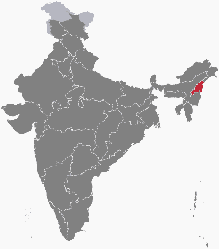
Nagaland – state in Northeast India. It borders the state of Assam to the west, Arunachal Pradesh and part of Assam to the north, Burma to the east and Manipur to the south. The state capital is Kohima, and the largest city is Dimapur. It has an area of 16,579 square kilometres (6,401 sq mi) with a population of 1,980,602 per the 2011 Census of India, making it one of the smallest states of India.
Geography of Nagaland
Geography of Nagaland
Location of Nagaland
Natural geographic features of Nagaland
Administrative divisions of Nagaland
Districts of Nagaland
Districts of Nagaland
Municipalities of Nagaland
Demography of Nagaland
Demographics of Nagaland
Government and politics of Nagaland
Union government in Nagaland
Branches of the government of Nagaland
Executive branch of the government of Nagaland
Legislative branch of the government of Nagaland
Judicial branch of the government of Nagaland
Law and order in Nagaland
History of Nagaland
History of Nagaland
Culture of Nagaland
Culture of Nagaland
Art in Nagaland
People of Nagaland
Religion in Nagaland
Religion in Nagaland
Sports in Nagaland
Sports in Nagaland
Symbols of Nagaland
Symbols of Nagaland
Economy and infrastructure of Nagaland
Education in Nagaland
Education in Nagaland
Health in Nagaland
Health in Nagaland
References
Outline of Nagaland Wikipedia(Text) CC BY-SA