
Area 1,847 km² | ||
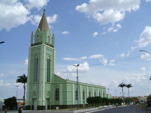 | ||
Panor mica de araripina imagens a rea
Araripina is a Brazilian municipality in the state of Pernambuco. Has an estimated population in 2009 of 79.877 inhabitants according with IBGE. Total area of 1.847,5 km² and is located in the state mesoregion of Sertão, at 622 meters above the sea level and 683 km West from the state capital, Recife. The exploration of gypsum (95% of the Brazilian reserves) and calcarium is the base of the local economy and at the hononymous microregion.
Contents
- Panor mica de araripina imagens a rea
- Map of Araripina State of Pernambuco Brazil
- Desfile 11 de setembro 2016 araripina pe
- Geography
- Economy
- Economic Indicators
- Sports
- References
Map of Araripina, State of Pernambuco, Brazil
Desfile 11 de setembro 2016 araripina pe
Geography
Economy
The main economic activities in Araripina are based in extraction of gypsum and no metallic minerals; and primary sector especially creation of goats, donkeys, pigs and farms with beans, manioc and corn. Araripina is located in the microregion with its name, which contains 95% of the Brazilian reserves of Gypsum.
Economic Indicators
Economy by Sector 2006
Sports
The main sports in Araripina is football which is represented by Araripina Futebol Clube, currently playing the Campeonato Pernambucano. Their stadium is known as Chapadão do Araripe which has 5000 seats.