
Time zone CET/CEST (UTC+1/+2) Population 30,538 (31 Dec 2008) | Elevation 11 m (36 ft) Postal codes 27711 Local time Monday 6:34 PM | |
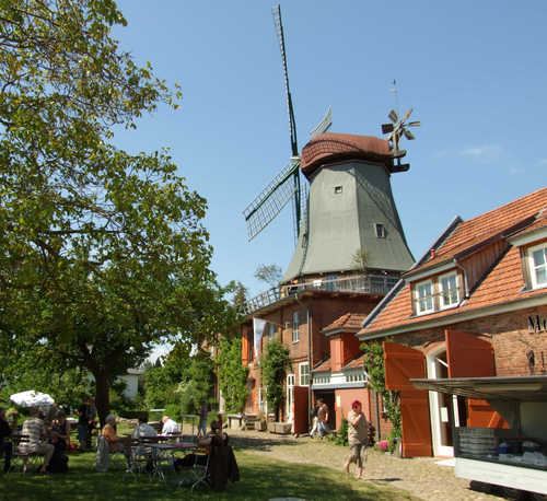 | ||
Weather 17°C, Wind SE at 8 km/h, 39% Humidity Points of interest Ludwigslust Zoo, Kulturstiftung Landkreis Osterholz, Mühle von Rönn, Breites Wasser, treckersafari GbR | ||
Osterholz-Scharmbeck is a town and the capital of the district of Osterholz, in Lower Saxony, Germany. Osterholz-Scharmbeck is situated in between the cities of Bremen and Bremerhaven.
Contents
- Map of Osterholz Scharmbeck Germany
- Neighbouring places
- History
- Population Growth
- Mayor
- Sons and daughters of the town
- Books
- References
Map of Osterholz-Scharmbeck, Germany
Neighbouring places
History
The town was first mentioned in 1043 as Scirnbeci. From 1180 on the Scharmbeck belonged to the Prince-Archbishopric of Bremen. The monastery in Osterholz was founded in 1182 and persisted until 1650, when Lower Saxony became mostly Protestant. In 1648 the Prince-Archbishopric was transformed into the Duchy of Bremen, which was first ruled in personal union by the Swedish and from 1715 on by the Hanoverian Crown. In 1823 the Duchy was abolished and its territory became part of the Stade Region in the Kingdom of Hanover.
In 1927 the two communities of Osterholz and Scharmbeck were merged under the name of Osterholz-Scharmbeck and in 1929 town privileges were granted.
Between 1978 and 1992, 4,200 soldiers of the U.S. Army's 2nd Armored Division (Forward) were stationed, and another 4,000 family members resided in Osterholz-Scharmbeck.
Population Growth
Mayor
The mayor is Torsten Rohde (independent). He was elected in May 2014 with 59,02 % of the votes. The predecessor was Martin Wagener (SPD).