
County Bates ZIP codes 64752, 64779 Elevation 272 m Local time Wednesday 1:13 PM | Time zone CST (UTC-6) GNIS feature ID 0766296 Area 96.27 km² Population 552 (2000) | |
 | ||
Weather 1°C, Wind SE at 13 km/h, 53% Humidity | ||
Howard Township is one of twenty-four townships in Bates County, Missouri, USA. As of the 2000 census, its population was 552.
Contents
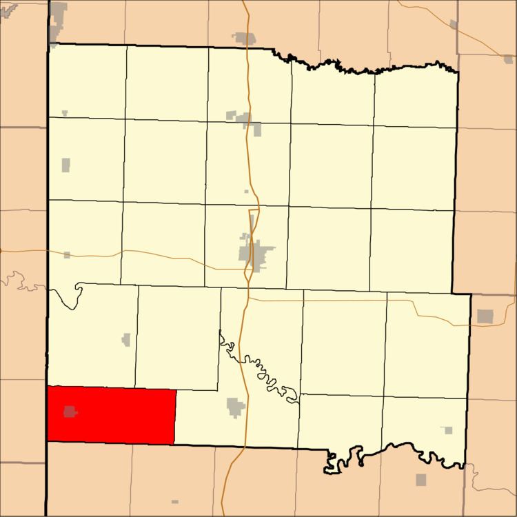
- Map of Howard Township MO USA
- Geography
- Cities towns villages
- Unincorporated towns
- Adjacent townships
- School districts
- Political districts
- References
Map of Howard Township, MO, USA
Howard Township has the name of territorial governor Benjamin Howard.
Geography
According to the United States Census Bureau, Howard Township covers an area of 37.17 square miles (96.28 square kilometers); of this, 36.9 square miles (95.57 square kilometers, 99.26 percent) is land and 0.27 square miles (0.71 square kilometers, 0.74 percent) is water.
Cities, towns, villages
Unincorporated towns
(This list is based on USGS data and may include former settlements.)
Adjacent townships
School districts
Political districts
References
Howard Township, Bates County, Missouri Wikipedia(Text) CC BY-SA