
Country United States GNIS feature ID 453694 Area 93.55 km² Local time Sunday 9:23 AM | ZIP codes 46531, 46532, 46574 Elevation 213 m Population 3,367 (2010) | |
 | ||
Weather 11°C, Wind SE at 13 km/h, 80% Humidity | ||
Oregon Township is one of nine townships in Starke County, in the U.S. state of Indiana. As of the 2010 census, its population was 3,367 and it contained 1,718 housing units.
Contents
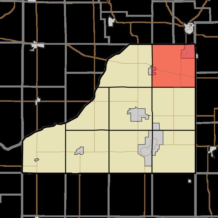
- Map of Oregon Township IN USA
- Geography
- Cities towns villages
- Unincorporated towns
- Adjacent townships
- Cemeteries
- Major highways
- School districts
- Political districts
- References
Map of Oregon Township, IN, USA
Geography
According to the 2010 census, the township has a total area of 36.12 square miles (93.6 km2), of which 35.65 square miles (92.3 km2) (or 98.70%) is land and 0.47 square miles (1.2 km2) (or 1.30%) is water.
Cities, towns, villages
Unincorporated towns
(This list is based on USGS data and may include former settlements.)
Adjacent townships
Cemeteries
The township contains Fletcher Cemetery.
Major highways
School districts
Political districts
References
Oregon Township, Starke County, Indiana Wikipedia(Text) CC BY-SA