
GNIS feature ID 0454046 Area 112 km² Population 4,008 (2010) | ZIP codes 46511, 46513, 46563 Elevation 240 m Local time Friday 11:50 PM University Ancilla College | |
 | ||
Weather 3°C, Wind N at 13 km/h, 82% Humidity | ||
West Township is one of ten townships in Marshall County, Indiana, United States. As of the 2010 census, its population was 4,008 and it contained 1,729 housing units.
Contents
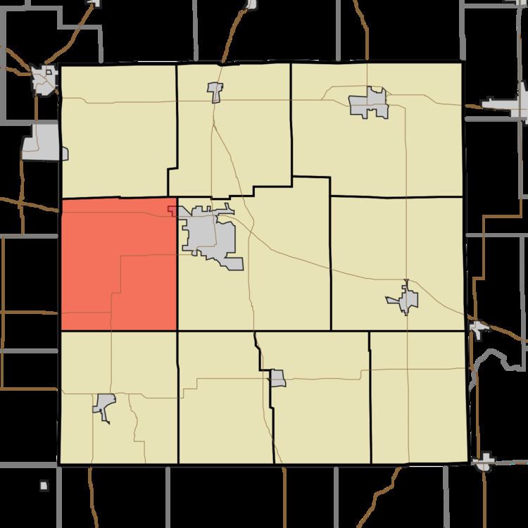
- Map of West Township IN USA
- History
- Geography
- Cities towns villages
- Unincorporated towns
- Cemeteries
- Major highways
- Airports and landing strips
- Lakes
- School districts
- Political districts
- References
Map of West Township, IN, USA
History
West Township was organized in 1854.
The Chief Menominee Memorial Site and Ramsay-Fox Round Barn and Farm are listed on the National Register of Historic Places.
Geography
According to the 2010 census, the township has a total area of 43.26 square miles (112.0 km2), of which 41.99 square miles (108.8 km2) (or 97.06%) is land and 1.27 square miles (3.3 km2) (or 2.94%) is water.
Cities, towns, villages
Unincorporated towns
(This list is based on USGS data and may include former settlements.)
Cemeteries
The township contains these three cemeteries: Donaldson, McElrath and Mount Carmel.
Major highways
Airports and landing strips
Lakes
School districts
Political districts
References
West Township, Marshall County, Indiana Wikipedia(Text) CC BY-SA