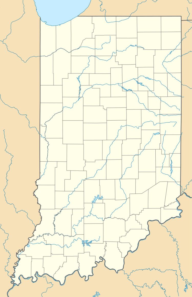
County Starke Time zone Central (CST) (UTC-6) Elevation 221 m | State Indiana ZIP code 46531 Local time Friday 4:35 PM | |
 | ||
Weather -3°C, Wind N at 26 km/h, 22% Humidity | ||
Grovertown (also Grover Town or Grovestown) is an unincorporated community in southeastern Oregon Township, Starke County, in the U.S. state of Indiana.
Contents
Map of Grovertown, IN 46531, USA
History
Although Grovertown is unincorporated, it has a post office, with the ZIP code of 46531. It has been in operation since 1859.
Geography
Grovertown lies along State Road 23 northeast of the city of Knox, the county seat of Starke County. Its elevation is 725 feet (221 m), and it is located at 41°22′30″N 86°30′17″W (41.3750434, -86.5047339).
References
Grovertown, Indiana Wikipedia(Text) CC BY-SA
