
Existed: 1932 – present Length 194 km | Componenthighways: Fremont Highway No. 19 Constructed 1932 | |
 | ||
Oregon Route 31 is a state highway in the U.S. state of Oregon that runs between the Central Oregon cities of La Pine and Lakeview. OR 31 traverses most of the Fremont Highway No. 19 of the Oregon state highway system, named after John C. Frémont. The entire length of OR 31 is part of the Outback Scenic Byway, though the byway extends further south beyond the end of OR 31, to the California border.
Contents
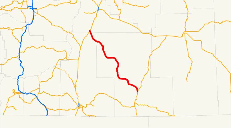
Map of OR-31, Oregon, USA
Route description
Oregon 31 runs northwest-southeast, but is signed north–south. It is a two-lane rural road for its entire length. The northern terminus of the highway is at an intersection with U.S. Route 97 south of the city of La Pine. From there, the highway heads southeast, passing near the natural attractions of Big Hole, Hole-in-the-Ground, and Fort Rock State Natural Area. The route turns briefly east, passing by Paulina Marsh and Silver Lake and through the community of Silver Lake; it then turns south, goes over Picture Rock Pass, and passes by the Summer Lake Wildlife Area, then through the community of Summer Lake and by the lake of the same name. The road then runs east near the south shore of Summer Lake, then southeast through Paisley. Near the southern end of Abert Lake, and north of Lakeview, the highway ends at an intersection with U.S. Route 395.
A previous routing from a 1916 map shows the highway's northern terminus near Millican on U.S. 20, proceeding down Forest Road 25, then down Forest Road 18/Cabin Lake Road to the community of Fort Rock and continuing south on Pitcher Lane and Picture Lane to Silver Lake.
Major intersections
Milepoints are as reported by ODOT and do not necessarily reflect current mileage. Z indicates overlapping mileage due to construction longer than established route, and – indicates negative mileage behind established beginning point. For routes traversing multiple named state highways, each milepoint is preceded by the corresponding state highway number.