Age Possibly 20,000 years Elevation 1,448 m | Topo map USGS Big Hole | |
 | ||
Similar Hole‑in‑the‑Ground, Aspen Butte, Fort Rock‑Christmas Lake Vall, Yamsay Mountain, Hogg Rock | ||
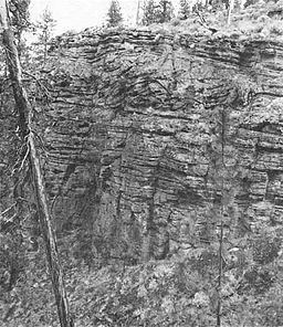
Big Hole is a large maar (explosion crater) in the Fort Rock Basin of Lake County, central Oregon, northeast of Crater Lake, near Oregon Route 31. It is approximately 6000 ft (1820 m) across and 300 feet (91 m) deep.
Map of Big Hole, Oregon, USA
It is close to another smaller, but less-eroded maar crater, Hole-in-the-Ground.
References
Big Hole (Oregon) Wikipedia(Text) CC BY-SA
