
Constructed 2002 | Length 4.056 km | |
 | ||
Existed: November 13, 2002 – present North end: OR 126 Bus. in Springfield | ||
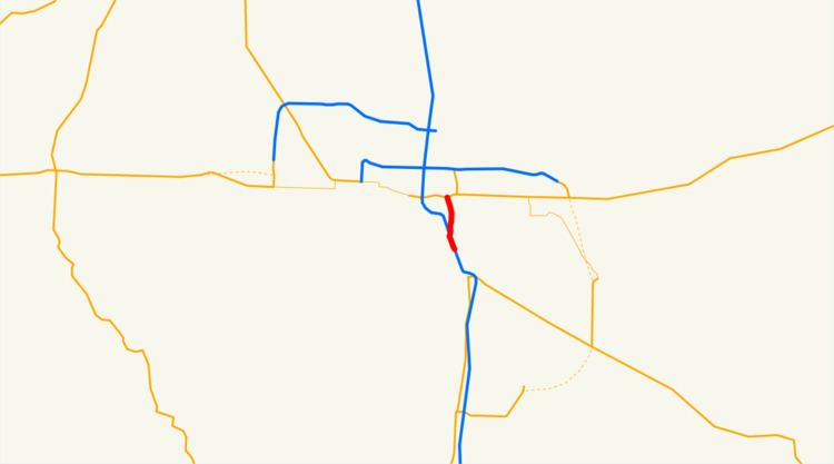
Oregon Route 225 (OR 225) is an Oregon state highway running from I-5 (and unsigned OR 99) near Eugene to OR 126 Business in Springfield. OR 225 is known as the McVay Highway No. 225 (see Oregon highways and routes). It is 2.52 miles (4.06 km) long and runs north–south, entirely within Lane County.
Contents
Map of OR-225, Eugene, OR, USA
OR 225 was established on November 13, 2002 as part of Oregon's project to assign route numbers to highways that previously were not assigned. As of July 2008, was unsigned.
Route description
OR 225 begins at the southernmost section of exit 189 of Interstate 5, the exit for 30th Avenue and South Eugene. Here, there are only ramps allowing access to I-5 southbound and from I-5 northbound. OR 225 travels north on a two-lane frontage road to the west of I-5 while the state-maintained Franklin Boulevard acts as a frontage road on the east side of the Interstate. While paralleling I-5, the route passes small businesses and side streets allowing access to nearby residences. The route comes to the other half of exit 189 where access to I-5 northbound and from I-5 southbound is provided. Franklin Boulevard terminates at this interchange also. North of this interchange, OR 225 passes over a Central Oregon and Pacific railroad before closely paralleling the Willamette River. While paralleling the river, the route heads through a commercial zone with some trailer parks. After crossing under a Union Pacific railroad underpass, the route heads past more businesses before ending at a signalized intersection with OR 126 Business within the city limits of Springfield.
Major intersections
The entire route is in Lane County.