
Time zone PST (UTC+8) Area 188.7 km² | Barangays ZIP code 6802 | |
 | ||
Congr. district Lone district of E. Samar Neighborhoods Beri, Brgy. Pangudtan, Barangay Butnga | ||
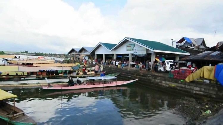
Oras is a fourth class municipality in the province of Eastern Samar, Philippines. According to the 2015 census, it has a population of 36,540 people.
Contents
Map of Oras, Eastern Samar, Philippines
History
In 1948, Oras was created from the barrios of San Policarpo, Bahay, Alugan, Pangpang, Japonan, Tabo, Binogawan and Cajag-wayan, which used to belong to this town. The territory of the town was further reduced two years later, when Arteche was created from the barrios of San Ramon, Carapdapan, Beri, Tangbo, Catumsan, Bego, Concepcion, Casidman, Tawagan, and Tibalawon.
In 1952, the sitios of Trinidad, Tula, Pota, Palao, Sinalo-an, Tamse-on, Cagmalobago, and Maycorot, in the barrio of Agsam, were separated from said barrio and created into the barrio of Trinidad. In the same year, Sta. Monica was transferred to the town of San Policarpo.
Barangays
Oras is politically subdivided into 42 barangays.
Demographics
The population of Oras in the 2015 census was 36,540 people, with a density of 190 inhabitants per square kilometre or 490 inhabitants per square mile.