
Time zone PST (UTC+8) Area 78 km² | Barangays ZIP code 6821 | |
 | ||
Congr. district Lone district of E. Samar | ||
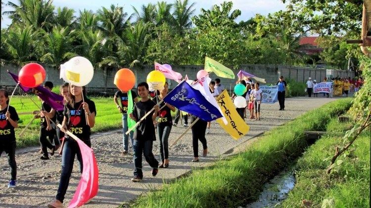
A ride to san policarpo eastern samar
San Policarpo is a fifth class municipality in the province of Eastern Samar, Philippines. In the north-west, it is bounded by Arteche, in the north-east by the vast Pacific Ocean and in the south by Oras. According to the 2015 census, it has a population of 14,687 people.
Contents
- A ride to san policarpo eastern samar
- Map of San Policarpo Eastern Samar Philippines
- History
- Barangays
- Demographics
- Economy
- References
Map of San Policarpo, Eastern Samar, Philippines
History
San Policarpo was established as a barrio in 1837. The Municipality of San Policarpo was created from the barrios of San Policarpo, Bahay, Alugan, Pangpang, Japonan, Tabo, Binogawan and Cajagwayan of the municipality of Oras in 1948 under Republic Act No. 281 and inaugurated on February 5, 1949. In 1952, the barrio of Sta. Monica was transferred from Oras to San Policarpo.
The town was formerly named "Bunga", derived from the plant called bunga which was very abundant in the present site of the town. "Bunga" means fruit, thus the name indicates the fruit of the toils of its founders.
Barangays
San Policarpo is politically subdivided into 17 barangays.
Demographics
The population of San Policarpo, Eastern Samar, in the 2015 census was 14,687 people, with a density of 190 inhabitants per square kilometre or 490 inhabitants per square mile.
Economy
The local economy of San Policarpio, one of the country's poorest towns, is dependent on fishing and farming.