
Demonym(s) Opmeerder Postcode 1660–1663, 1715–1719 Area 41.98 km² | Elevation 0 m (0 ft) Time zone CET (UTC+1) Area code 0226, 0229 Local time Saturday 11:51 PM | |
 | ||
Weather 6°C, Wind NE at 16 km/h, 83% Humidity | ||
Opmeer ( pronunciation )(West Frisian: Opmar or Obmar) is a municipality and town in the Netherlands, in the province of North Holland and the region of West-Frisia.
Contents
Map of Opmeer, Netherlands
Population centres
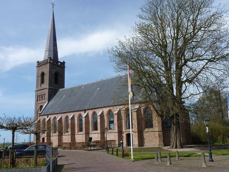
The municipality of Opmeer consists of the following cities, towns, villages and/or districts: Aartswoud, De Weere, Gouwe, Hoogwoud, Opmeer, Spanbroek, Wadway, Zandwerven.
Dutch Topographic map of the municipality of Opmeer, June 2015
Local government
The municipal council of Opmeer consists of 15 seats, which are divided as follows:
The CDA and the Gemeentebelangen Opmeer are in a coalition government.
The town has an online portal with information on services and news.
References
Opmeer Wikipedia(Text) CC BY-SA