
Local time Tuesday 1:24 PM | Time zone CET (UTC+1) Population 3,170 (2001) | |
 | ||
Weather 11°C, Wind SW at 27 km/h, 82% Humidity | ||
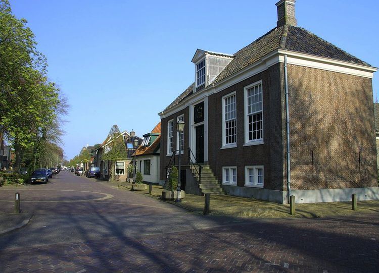
Hoogwoud ( [ˈɦoːxʋʌut]; West Frisian: Hougwoud) is a town in the Dutch province of North Holland. It is a part of the municipality of Opmeer, and lies about 9 kilometres (5.6 mi) northeast of Heerhugowaard.
Contents
Map of Hoogwoud, Netherlands
History
Hoogwoud received city rights in 1414. It was a separate municipality until 1979, when it was merged with Opmeer.
Geography
Hoogwoud is located at 52°42′55″N 4°56′12″E in middle of the municipality of Opmeer in the province of North Holland in the Netherlands. It is situated north of the population centers of Opmeer and Spanbroek.
Demography
In 2001, the town of Hoogwoud had 3170 inhabitants. The built-up area of the town was 0.92 km², and contained 1226 residences. The statistical area "Hoogwoud", which also can include the peripheral parts of the village, as well as the surrounding countryside, has a population of around 3350.