
Car plates TOP Area 911.5 km² | ||
 | ||
Gminas Total 8Gmina BaćkowiceGmina IwaniskaGmina LipnikGmina OpatówGmina OżarówGmina SadowieGmina TarłówGmina Wojciechowice Points of interest Krzyżtopór, St Martin's Collegiate Church, Podziemia opatowskie, Pałac Karskich we Włost, Dwór w Śmiłowie | ||
Opatów County (Polish: powiat opatowski) is a unit of territorial administration and local government (powiat) in Świętokrzyskie Voivodeship, south-central Poland. It came into being on January 1, 1999, as a result of the Polish local government reforms passed in 1998. Its administrative seat and largest town is Opatów, which lies 58 kilometres (36 mi) east of the regional capital Kielce. The only other town in the county is Ożarów, lying 20 km (12 mi) north-east of Opatów.
Contents
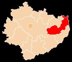
Map of Opat%C3%B3w County, Poland
The county covers an area of 911.51 square kilometres (351.9 sq mi). As of 2006 its total population is 56,645, out of which the population of Opatów is 6,846, that of Ożarów is 4,816, and the rural population is 44,983.
Neighbouring counties
Opatów County is bordered by Ostrowiec County and Lipsko County to the north, Opole Lubelskie County to the north-east, Kraśnik County and Sandomierz County to the east, Staszów County to the south-west, and Kielce County to the west.
Administrative division
The county is subdivided into eight gminas (two urban-rural and six rural). These are listed in the following table, in descending order of population.