
Car plates LKR | Area 1,005 km² | |
 | ||
Gminas Total 10 (incl. 1 urban)KraśnikGmina AnnopolGmina DzierzkowiceGmina GościeradówGmina KraśnikGmina SzastarkaGmina Trzydnik DużyGmina UrzędówGmina WilkołazGmina Zakrzówek Points of interest Zalew Kraśnicki, Muzeum Regionalne w Kraśniku, Pomnik Józefa Piłsudskiego | ||
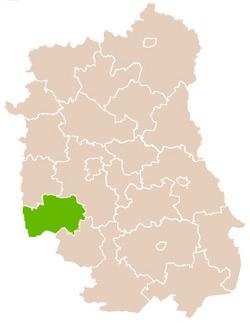
Kraśnik County (Polish: powiat kraśnicki) is a unit of territorial administration and local government (powiat) in Lublin Voivodeship, eastern Poland. It was established on January 1, 1999, as a result of the Polish local government reforms passed in 1998. Its administrative seat and largest town is Kraśnik, which lies 45 kilometres (28 mi) south-west of the regional capital Lublin. The only other town in the county is Annopol, lying 25 km (16 mi) west of Kraśnik.
Contents
Map of Kra%C5%9Bnik County, Poland
The county covers an area of 1,005.34 square kilometres (388.2 sq mi). As of 2006, its total population is 99,770, out of which the population of Kraśnik is 36,072, that of Annopol is 2,690, and the rural population is 61,008.
Neighbouring counties
Kraśnik County is bordered by Lublin County to the north-east, Janów Lubelski County and Stalowa Wola County to the south, Sandomierz County to the south-west, Opatów County to the west, and Opole Lubelskie County to the north-west.
Administrative division
The county is subdivided into 10 gminas (one urban, one urban-rural and eight rural). These are listed in the following table, in descending order of population.