
Existed: 1956 – present Length 291.4 km | Constructed 1956 | |
 | ||
Major cities Ignace, Pickle Lake, Savant Lake | ||
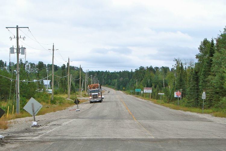
Secondary Highway 599, commonly referred to as Highway 599, is a provincially maintained secondary highway in the Canadian province of Ontario. The 292 km (181 mi) route connects Highway 17 near Ignace with the remote northern community of Pickle Lake; its terminus at Pickle Lake marks the northernmost point on the provincial highway system.
Contents
Map of ON-599, Ontario, Canada
Route description
Highway 599 is a long and isolated road in Northwestern Ontario, starting at the Trans-Canada Highway (Highway 17) near Ignace. It travels through the dense forests and hills of Kenora District and ends in Pickle Lake. It is the longest secondary highway in Ontario, at about 292 km (181 mi) long. It is also the northernmost highway in Ontario maintained by the Ministry of Transportation of Ontario.
The road links up with the Northern Ontario Resource Trail, which used to be a part of Highway 599, and then Highway 808. The Resource Trail is paved for only the first 3 kilometres (1.9 mi) of its length, and is gravel for the rest of its length. It links up with winter roads that travel to isolated communities even farther north, terminating at the northern shore of Windigo Lake.
Towns
History
Highway 599 was initially constructed by the Department of Mines and Forestry in the early 1950s, opening from Savant Lake to Pickle Lake in 1955. In early 1956, that road was assumed by the Department of Highways and incorporated as part of the new secondary highway network, with the designation of Highway 599. Unlike most other secondary highways, it was not possible to access the new highway by car from the rest of the province.
In 1958, construction began to connect the route with Highway 17 near Ignace, working south from Savant Lake. By 1963, Highway 599 was opened to the community of Valora, where it connected with the Ignace–Valora Road. On February 15, the province signed an industrial road agreement, which opened the Ignace–Valora Road to the general public, connecting Highway 599 with the rest of the province. Despite this, work continued on a paved road. In 1963 construction began from the Highway 17 end. The road was completed in the middle by 1966.
Major intersections
The following table lists the major junctions along Highway 599. In addition, it includes some minor junctions that are noted by the Ministry of Transportation of Ontario.