
Length 5.8 km | ||
 | ||
History: 1936–1961York CountyFebruary 1965–presentPicton–Marysville North end: North limit of Tyendinaga Mohawk Territory | ||
King's Highway 49, commonly referred to as Highway 49, is a provincially maintained highway in the Canadian province of Ontario. The 5.8-kilometre (3.6 mi) highway travels from the Quinte Skyway to the northern boundary of the Tyendinaga Mohawk Territory south of Marysville. Most of the highway is situated within the Tyendinaga reserve.
Contents
Map of ON-49, Ontario, Canada
Route description
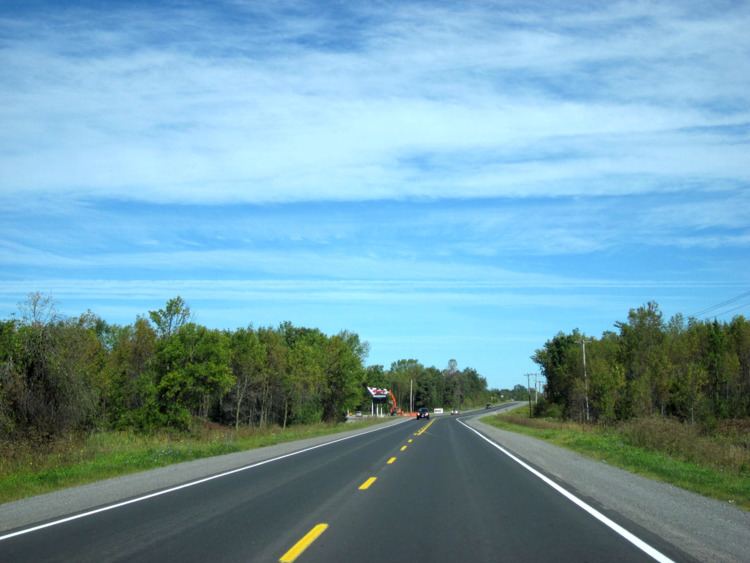
Highway 49 is a short highway which connects the county maintained roads that once formed a part of it. The province transferred the majority of the route to Prince Edward County and Hastings County in 1998. However, the section lying within the Tyendinaga Mohawk Territory as well as the Quinte Skyway remain under provincial jurisdiction. At the southern end of the skyway, the route connects with Prince Edward County Road 49, which continues south to Picton, as well as County Road 15 and County Road 35. At the northern end of the skyway, the highway intersects the former Highway 2, which travels east to the town of Deseronto. From there it travels north to approximately 2.1 kilometres (1.3 mi) south of Highway 401, at the northern edge of the Tyendinaga Mohawk Territory.
History
Prior to 1998, the road's southern terminus was at Highway 33 in Picton, while the northern terminus was at Highway 401 Marysville.
Old Highway 49
A road in York Region serving Kleinburg was designated as provincial Highway 49 from 1936 until 1961, after which York County assumed the highway. Today it is known as Nashville Road (York Regional Road 49).
Major intersections
The following table lists the major junctions along Highway 49, as noted by the Ministry of Transportation of Ontario.