
Length 1.35 km (0.839 mi) Population Uninhabited | Width 0.47 km (0.292 mi) Area 44 ha | |
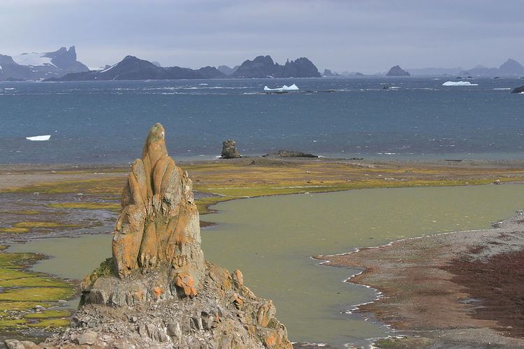 | ||
Ongley Island is a rugged rocky island lying off the north coast of Greenwich Island in the South Shetland Islands, Antarctica. Extending 1.35 km (0.84 mi) in west-northwest direction and 470 m (510 yd) wide, with a surface area of 44 hectares (110 acres). The area was visited by early 19th century sealers.
Contents
Map of Ongley Island, Antarctica
The feature is named after L.T. Ongley, cartographer in the Admiralty Hydrographic Department in 1935.
Location
The midpoint is located at 62°25′48″S 59°53′14.6″W and the island is lying 3.7 km (2.3 mi) west of Dee Island, 1.73 km (1.07 mi) north by east of Aprilov Point, Greenwich Island, 2.74 km (1.70 mi) northeast of Miletich Point, Greenwich Island, 2.52 km (1.57 mi) east-northeast of Kabile Island, 5.3 km (3.3 mi) south by east of Romeo Island and 3.7 km (2.3 mi) southwest of Stoker Island (British mapping in 1935 and 1968, Argentine in 1957, Chilean in 1971, and Bulgarian in 2005 and 2009).