 | ||
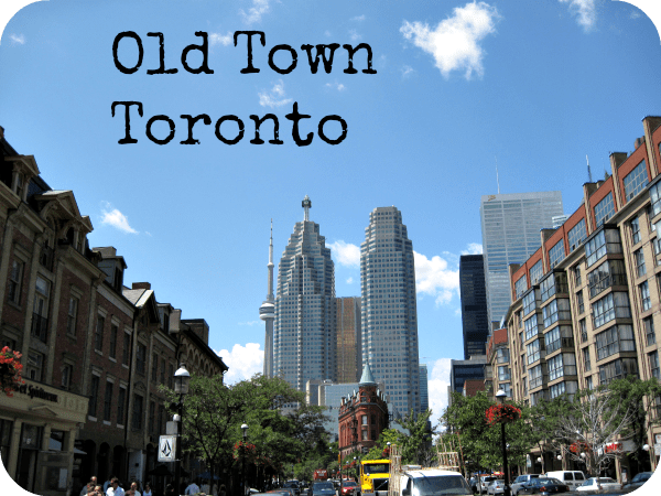
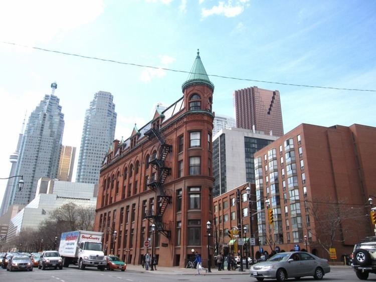
Old Town is a neighbourhood and retail district in downtown Toronto, Ontario, Canada. It was the first of Toronto's named neighbourhoods, having acquired the moniker no later than 1815, at which time the original town of York was expanding. The old neighbourhood was referred to as "Old Town" by residents, and the new neighbourhood as "New Town". The site still has a large number of 19th-century buildings. The neighbourhood's approximate boundaries are Queen Street on the north from Church Street east to Parliament Street, Parliament Street south to Front Street, Front Street west to Jarvis Street, one block north to King Street and Church Street north to Queen Street.
Contents
Character
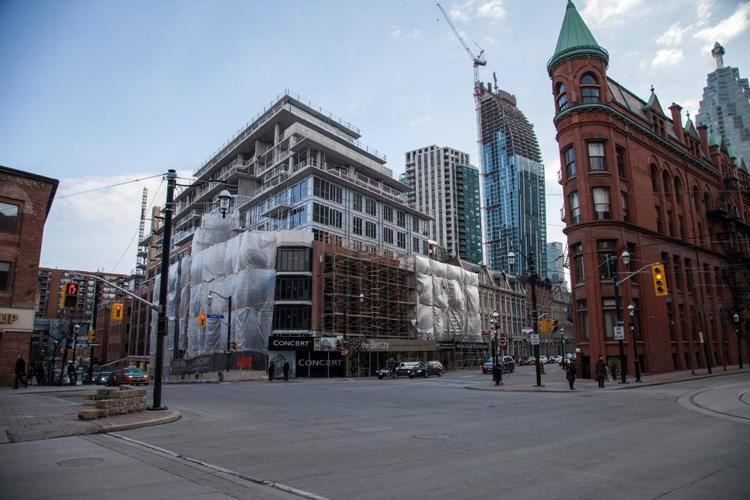
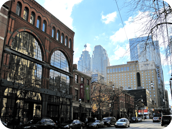
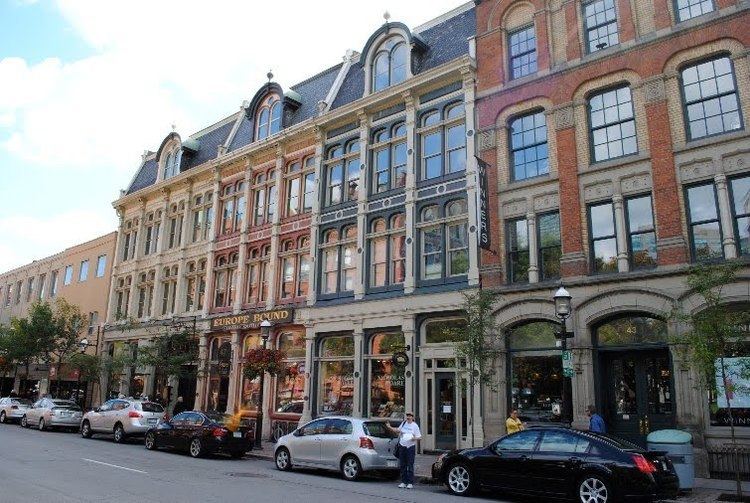
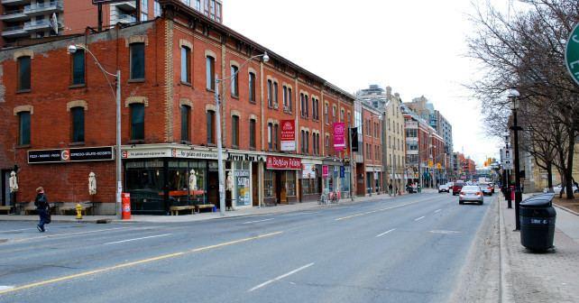
The area is filled with buildings predominantly two or three storeys tall. Along the main streets of Front, King and Queen are numerous first floor restaurants and stores with walk-up apartments on the upper floors. The area also has numerous older warehouses that have been converted to lofts or offices.
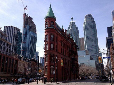
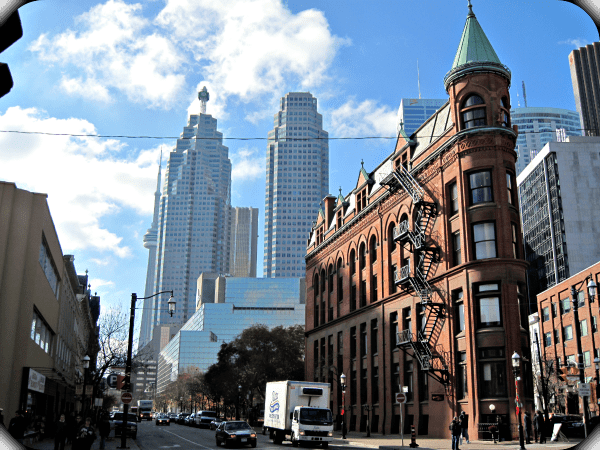
The area between Front Street on the south and Adelaide Street on the north, between Berkeley Street on the east and George Street on the west, is the ten blocks that make up the original town-site of York, as laid out in 1793. While no buildings in the area date from that time period, there are numerous heritage buildings such as Toronto's first post office on Adelaide within the area.
History
The first town plan for York was laid out by Captain Mann in 1788. However, the original plan was rejected by Lieutenant-Governor Simcoe who had a new plan drawn up by Alexander Aitkin. The plan called for a compact, ten-block townsite, laid out in a gridiron pattern near the mouth of the Don River. This ten-block plan was bounded by George, Berkeley, Adelaide and Front Streets, with the areas east of Parliament to the Don, and west of Peter to the Humber set aside for government and military purposes. Government buildings were erected near Parliament and Front Streets.
Landmarks
Transportation
The 504 King and the 501 Queen east-west streetcar routes serve the neighbourhood. The north-south 65 Parliament and 75 Sherbourne buses also serve the area.