
Length 52.9 km | ||
 | ||
South end: US-266 west of Checotah | ||
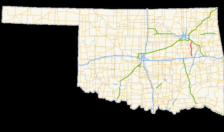
State Highway 72 (abbreviated SH-72 or OK-72) is a state highway in the U.S. state of Oklahoma. It runs from north to south through the east-central part of the state, with a length of almost 33 miles (53 km). It does not have any lettered spur routes.
Contents
Map of OK-72, Oklahoma, USA
Route description
SH-72 begins at U.S. Highway 266 west of Checotah and heads north, passing through Council Hill after 4 miles (6.4 km). Two miles south of Boynton, it meets US-62, which it starts a duplex with. Past Boynton, it has a junction with US-64 and SH-16; US-62 splits off of SH-72 and US-64 joins it.
Near Haskell, US-64 splits off SH-72, headed towards Tulsa. SH-72 continues northward to cross the Arkansas River, to Coweta.
References
Oklahoma State Highway 72 Wikipedia(Text) CC BY-SA