
Length 23.25 km | ||
 | ||
Existed: 1979 (March 5?) – present East end: US-177 north of Shawnee | ||
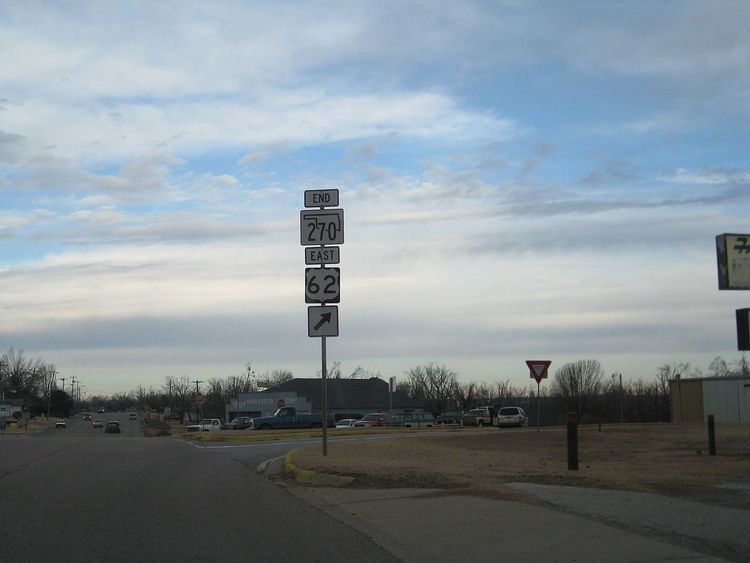
State Highway 270, abbreviated as SH-270, is a highway maintained by the U.S. state of Oklahoma. It runs on a former alignment of US-270 between US-62 in Harrah and US-177 north of Shawnee. (US-270 is now concurrent with Interstate 40 through the area.) The highway is 14.45 miles (23.26 km) long. SH-270 has no lettered spur routes.
Contents
Map of OK-270, Oklahoma, USA
Route description
State Highway 270 begins at US-62 in Harrah, in Oklahoma County. The road runs through town on a southeast course, paralleling a rail line. As it leaves town, the highway gradually curves to the south. SH-270 runs along Harrah Road to S.E. 29th Street, where it makes a hard left, turning to the east.
SH-270 continues east for one mile (1.6 km) until it crosses into Pottawatomie County, where the name of the road changes to Oklahoma Street. SH-270 then enters McLoud, where it has a brief concurrency with State Highway 102. After leaving McLoud, it then turns back to the southeast, parallel to the same railroad it ran alongside in Harrah. SH-270 turns east upon reaching the small town of Dale. It then crosses over the railroad and the North Canadian River. After passing through Dale, it ends at US-177.
History
Prior to 1979, US-270 ran through Oklahoma City on surface streets. It left the city and ran through Choctaw concurrent with US-62. US-270 split away from US-62 in Harrah, and continued on to Shawnee on what is now SH-270.
On March 5, 1979, US-270 was rerouted to run concurrent with Interstate 40 from south of Calumet in Canadian County through the Oklahoma City metro, exiting the Interstate onto a surface alignment in Shawnee. Presumably, SH-270 was commissioned the same date. The realignment of US-270, with SH-270 on the old alignment between Harrah and Shawnee, appears on the 1979 state map. SH-270 followed the same path in 1979 as it does today.