
Length 12.83 km | ||
 | ||
South end: SH-31 west of McCurtain | ||
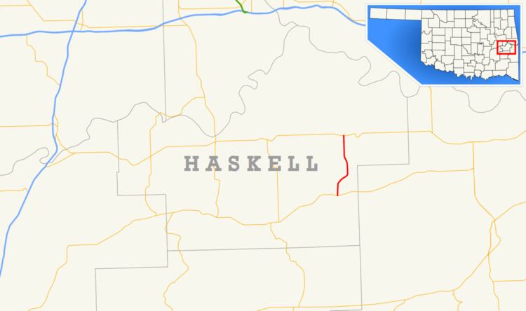
State Highway 26 (abbreviated SH-26 or OK-26) is a state highway in Oklahoma. It runs for a total of 7.97 miles (12.83 km), south-to-north, in eastern Haskell County. SH-26 serves as a link between SH-31 and SH-9. There are no letter-suffixed spur highways branching from SH-26.
Contents
Map of OK-26, Keota, OK 74941, USA
Route description
SH-26 begins at SH-31 on the west side of McCurtain. For its entire length, the highway alternates between passing through forested areas and clearings. It travels eight miles (13 km) in a curving path to the north to the intersection with SH-9, two miles (3 km) west of Keota.
Junction list
The entire route is in Haskell County.
References
Oklahoma State Highway 26 Wikipedia(Text) CC BY-SA