Neha Patil (Editor)

Ojeda Beach

Updated on
Edit
Like
Comment
Share on FacebookTweet on TwitterShare on LinkedInShare on Reddit
Ojeda Beach

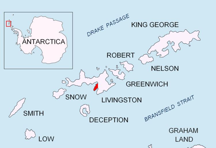
Ojeda Beach (Bulgarian: бряг Охеда, ‘Bryag Ojeda’ \'bryag o-'he-da) is the ice-free beach extending 730 m on the southeast coast of South Bay, Hurd Peninsula on Livingston Island in the South Shetland Islands, Antarctica. It is bounded by Hespérides Point to the north, Hesperides Hill and Atlantic Club Ridge to the east, and Boeritsa Point to the south. The beach was possibly visited by early 19th century sealers frequenting the nearby Johnsons Dock.

Contents

The feature is named after Miguel Ángel Ojeda Cárdenes, manager of the Spanish Antarctic logistics and base commander at Juan Carlos I base during several seasons, for his support for the Bulgarian Antarctic programme.

Location

Ojeda Beach is centred at 62°38′49″S 60°22′13″W. Spanish mapping in 1991 and Bulgarian in 1996, 2005 and 2009.

Maps

  • Isla Livingston: Península Hurd. Mapa topográfico de escala 1:25 000. Madrid: Servicio Geográfico del Ejército, 1991.
  • L.L. Ivanov. Livingston Island: Central-Eastern Region. Scale 1:25000 topographic map. Sofia: Antarctic Place-names Commission of Bulgaria, 1996.
  • L.L. Ivanov et al. Antarctica: Livingston Island and Greenwich Island, South Shetland Islands. Scale 1:100000 topographic map. Sofia: Antarctic Place-names Commission of Bulgaria, 2005.
  • L.L. Ivanov. Antarctica: Livingston Island and Greenwich, Robert, Snow and Smith Islands. Scale 1:120000 topographic map. Troyan: Manfred Wörner Foundation, 2009. ISBN 978-954-92032-6-4
  • Antarctic Digital Database (ADD). Scale 1:250000 topographic map of Antarctica. Scientific Committee on Antarctic Research (SCAR). Since 1993, regularly upgraded and updated.
  • References

    Ojeda Beach Wikipedia