Established 1993 | Trailheads Numerous | |
 | ||
Length 85 mi. (101 mi. when completed) Use Hiking, Running, Biking, Cross-Country Skiing Similar Ohio and Erie Canal, Cuyahoga Valley Scenic R, Summit Metro Parks, Brandywine Falls, Boston Store Visitor Ce | ||
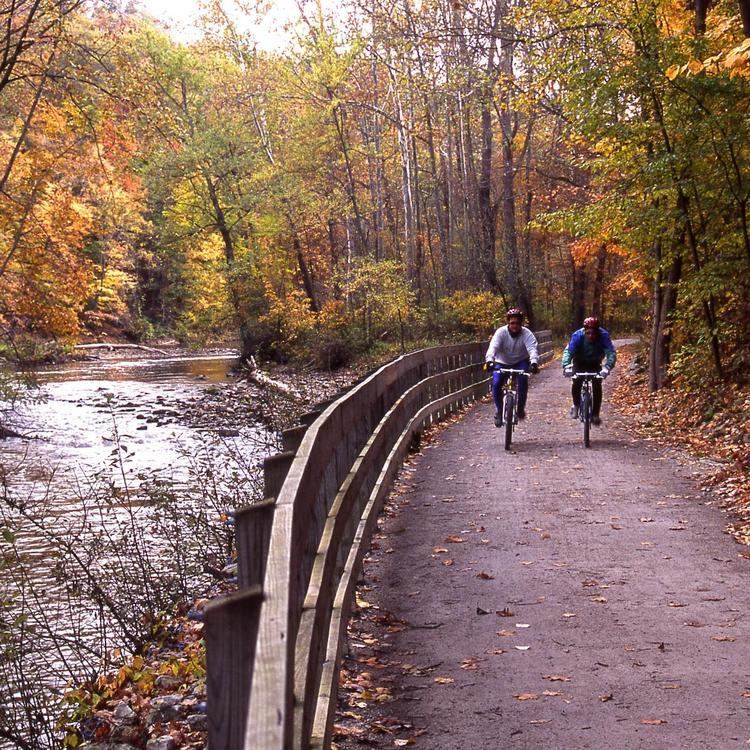
The Ohio and Erie Canal Towpath Trail is a multi-use trail that follows part of the former route of the Ohio & Erie Canal in Northeast Ohio.
Contents
Map of Ohio %26 Erie Canal Towpath Trail, Ohio, USA
The trail runs from north to south through Cuyahoga, Summit, Stark, and Tuscarawas Counties. The trail is planned to be 101 miles long and currently 85 miles of the trail are complete. When completed, it will run from Cleveland in the north to New Philadelphia in the south.
The Ohio to Erie Trail follows a portion of the towpath trail in Northeast Ohio.
The towpath trail has been developed by a number of organizations. It is currently managed by Cleveland Metroparks, Cuyahoga Valley National Park, Summit Metro Parks, Stark Parks, and the Tuscarawas County Park Department.
The trail has multiple surface types including crushed limestone, hard packed surface, and asphalt.
