
Length 318 mi (512 km) Use Multi-use | Season Year-round | |
 | ||
Designation State Bike Route 1 USBR 50 (Xenia–Columbus) Address Ohio - Erie Trail, Sunbury, OH 43074, USA | ||
Cycling the ohio to erie trail day 1 time lapse at 24x speed
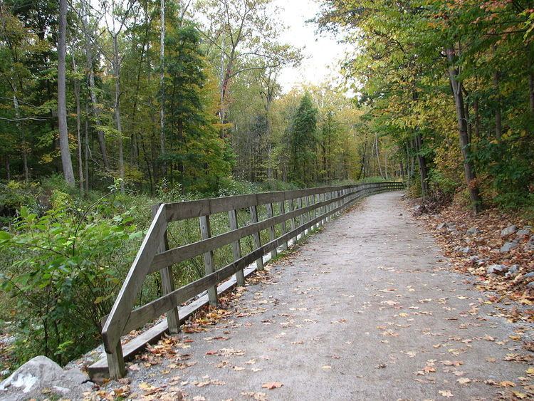
The Ohio to Erie Trail is a route for non-motorists that traverses the U.S. state of Ohio, from southwest to northeast. It is named for its endpoints, the Ohio River at Cincinnati and Lake Erie at Cleveland. The route largely consists of rail trails and other multi-use trails but also includes some on-road segments in anticipation of future segregated cycle facilities. The route as a whole is intended for bicyclists and hikers, while some trails along the route also permit equestrian and horse and buggy traffic.
Contents
- Cycling the ohio to erie trail day 1 time lapse at 24x speed
- Ohio to erie trail 2015
- History
- Path
- References
Ohio to erie trail 2015
History
The Ohio to Erie Trail began in 1991 as an outgrowth of the Ohio Bicycle Advisory Council.
Path
The trail is divided into four separate sections:
The trail passes through regional parks, nature preserves, and other rural woodland. The trail is planned to be 453 miles (729 km) in length. Of that amount, 262 miles (422 km) are complete and in daily use, 54 miles (87 km) are under construction or in engineering design, and the final 137 miles (220 km) are awaiting final planning.