
Existed: 1938 – present Length 17.73 km | Counties: Adams Constructed 1938 | |
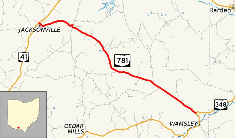 | ||
State Route 781 (SR 781) is an east–west state highway in southern Ohio, a U.S. state. The western terminus of SR 781 is at SR 41 about 2.5 miles (4.0 km) southwest of Peebles in the unincorporated community of Jacksonville. Its eastern terminus is 11 miles (18 km) to the southeast at a T-intersection with SR 348, which is approximately 5 miles (8.0 km) northeast of the community of Wamsley.
Contents
Map of OH-781, Peebles, OH 45660, USA
Created in the late 1930s and existing entirely within Adams County, SR 781 passes through rough terrain and by Peach Mountain, which rises over 1,200 feet (370 m).
Route description
All of SR 781 is located within the eastern portion of Adams County. The highway is not inclusive within the National Highway System.
History
SR 781 was first designated in 1938 along the routing between SR 41 and SR 348 that it occupies to this day. The route has not experienced any changes of major significance since it first appeared.
Major intersections
The entire route is in Adams County.