
Existed: 1924 – present Length 130.7 km | Constructed 1924 | |
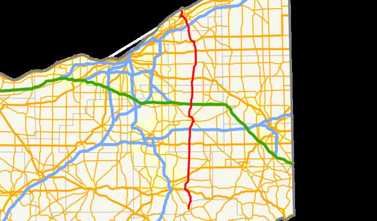 | ||
State Route 44 (SR 44) is a north–south state highway in the northeastern portion of Ohio, a U.S. state. It runs from a southern terminus at State Route 43 in Waynesburg to a northern terminus at the entrance to Headlands Beach State Park near Painesville. spans from Painesville Township in the north to Waynesburg in the south. Various sections of SR 44 are named for individuals.
Contents
Map of OH-44, Ohio, USA
SR 44C
State Route 44C (SR 44C) is the 0.19-mile (0.31 km) approach of former SR 44 to the State Route 44/State Route 5 interchange in Rootstown Township, just north of Interstate 76.
References
Ohio State Route 44 Wikipedia(Text) CC BY-SA