
Existed: 1924 – present Constructed 1924 | Length 280.4 km | |
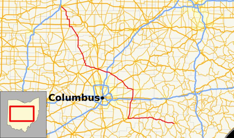 | ||
State Route 37 (SR 37) is a northwest-southeast highway (signed west–east) in Ohio. It is the ninth longest state route in Ohio. Its western terminus is at U.S. Route 224 and SR 12 in Findlay, and its eastern terminus is at SR 60 and SR 78 in McConnelsville.
Contents
Map of OH-37, Ohio, USA
History
State Route 37 is an original state highway that went from Lancaster to Marietta. In 1932, the route was extended to Findlay along its current route. In 1935, its eastern terminus was shortened to its current terminus, giving that route to State Route 78 and the now defunct State Route 77 (now part of State Route 60).
References
Ohio State Route 37 Wikipedia(Text) CC BY-SA