Suvarna Garge (Editor)

Ogosta Point

Updated on
Edit
Like
Comment
Share on FacebookTweet on TwitterShare on LinkedInShare on Reddit
Ogosta Point

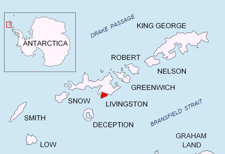
Ogosta Point (Nos Ogosta \'nos o-'gos-ta) is located in the central part of Zagore Beach on the east coast of False Bay, Livingston Island in the South Shetland Islands, Antarctica. Situated on Rozhen Peninsula 5.35 km north of Barnard Point, 4.4 km west of St. Methodius Peak and 3.45 km east of Castro Peak. The point is named after the Ogosta River in Bulgaria.

Contents

Location

The point is located at 62°42′37″S 60°19′54″W.

Maps

  • South Shetland Islands. Scale 1:200000 topographic map No. 3373. DOS 610 – W 62 58. Tolworth, UK, 1968.
  • Islas Livingston y Decepción. Mapa topográfico a escala 1:100000. Madrid: Servicio Geográfico del Ejército, 1991.
  • S. Soccol, D. Gildea and J. Bath. Livingston Island, Antarctica. Scale 1:100000 satellite map. The Omega Foundation, USA, 2004.
  • L.L. Ivanov et al., Antarctica: Livingston Island and Greenwich Island, South Shetland Islands (from English Strait to Morton Strait, with illustrations and ice-cover distribution), 1:100000 scale topographic map, Antarctic Place-names Commission of Bulgaria, Sofia, 2005
  • L.L. Ivanov. Antarctica: Livingston Island and Greenwich, Robert, Snow and Smith Islands. Scale 1:120000 topographic map. Troyan: Manfred Wörner Foundation, 2010. ISBN 978-954-92032-9-5 (First edition 2009. ISBN 978-954-92032-6-4)
  • Antarctic Digital Database (ADD). Scale 1:250000 topographic map of Antarctica. Scientific Committee on Antarctic Research (SCAR), 1993–2016.
  • References

    Ogosta Point Wikipedia