
Time zone CET/CEST (UTC+1/+2) Elevation 104 m Population 19,701 (31 Dec 2010) Postal code 59320 | District Warendorf Postal codes 59320 Area 125.2 km² Local time Saturday 1:36 AM Administrative region Münster | |
 | ||
Weather 5°C, Wind SE at 6 km/h, 80% Humidity | ||
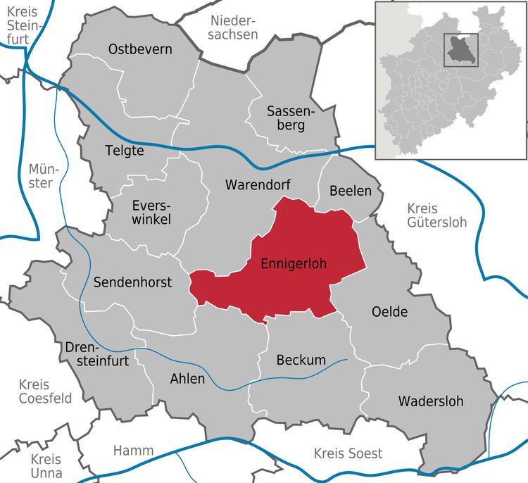
Ennigerloh is a town in the district of Warendorf, in North Rhine-Westphalia, Germany. It is located approximately 25 km northeast of Hamm and 30 km southeast of Münster.
Contents
Map of Ennigerloh, Germany
The town is set in an agricultural area, and has a well-preserved medieval town centre. However, it became an industrial town in the 20th century and had several cement factories. Some of the latter ones were closed down towards the end of the century. Furniture manufacturing was also a significant industry.
Notable Residents
References
Ennigerloh Wikipedia(Text) CC BY-SA