
Founded 1854 Area 2,976 km² | Website www.co.oconto.wi.us Population 37,318 (2013) Unemployment rate 5.1% (Apr 2015) | |
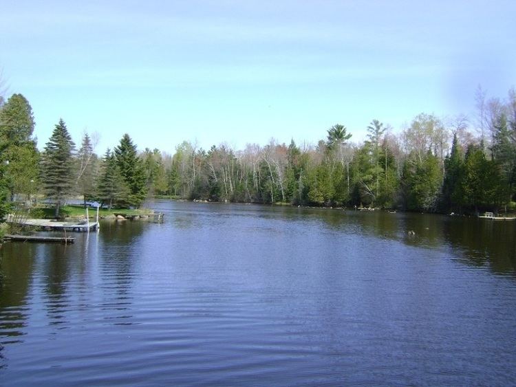 | ||
Points of interest Copper Culture State Park, Holtwood Park, Holt Park, Beyer Home and Carriage, Woodland Trail Beverage Destinations | ||
Oconto County is a county in the U.S. state of Wisconsin. As of the 2010 census, the population was 37,660. Its county seat is Oconto. The county was established in 1851.
Contents
- Map of Oconto County WI USA
- History
- Geography
- Adjacent counties
- Major highways
- Airport
- National protected area
- Demographics
- Cities
- Villages
- Census designated places
- Ghost town
- References
Map of Oconto County, WI, USA
Oconto County is part of the Green Bay, WI Metropolitan Statistical Area and the Green Bay-Shawano, WI Combined Statistical Area.
History
First visited by French explorers in the 17th century, Oconto County is among the oldest settlements in Wisconsin. Father Claude-Jean Allouez of the Roman Catholic Jesuit order said the first Mass in Oconto. Among the first settlers was Joseph Tourtilott, who explored much of the Oconto River watershed. Oconto County was created in 1851 and organized in 1854.
Geography
According to the U.S. Census Bureau, the county has a total area of 1,149 square miles (2,980 km2), of which 998 square miles (2,580 km2) is land and 151 square miles (390 km2) (13%) is water.
Adjacent counties
Major highways
Airport
J. Douglas Bake Memorial Airport (KOCQ) serves the county and surrounding communities.
National protected area
Demographics
As of the census of 2000, there were 35,634 people, 13,979 households, and 10,050 families residing in the county. The population density was 36 people per square mile (14/km²). There were 19,812 housing units at an average density of 20 per square mile (8/km²). The racial makeup of the county was 97.76% White, 0.13% Black or African American, 0.78% Native American, 0.20% Asian, 0.01% Pacific Islander, 0.24% from other races, and 0.88% from two or more races. 0.67% of the population were Hispanic or Latino of any race. 42.9% were of German, 11.8% Polish, 6.0% French and 5.6% American ancestry according to Census 2000.
There were 13,979 households out of which 32.20% had children under the age of 18 living with them, 60.70% were married couples living together, 6.90% had a female householder with no husband present, and 28.10% were non-families. 23.50% of all households were made up of individuals and 10.70% had someone living alone who was 65 years of age or older. The average household size was 2.52 and the average family size was 2.97.
In the county, the population was spread out with 25.70% under the age of 18, 6.40% from 18 to 24, 28.70% from 25 to 44, 24.00% from 45 to 64, and 15.10% who were 65 years of age or older. The median age was 39 years. For every 100 females there were 101.30 males. For every 100 females age 18 and over, there were 99.70 males.