
Seat Marinette Congressional district 8th Area 4,014 km² Population 41,610 (2013) | Largest city Marinette Time zone Central: UTC-6/-5 Founded 1879 | |
 | ||
Website www.marinettecounty.com Colleges and Universities University of Wisconsin–Marinette, Northland International University, Wisconsin Academy Rivers Menominee River, Peshtigo River, East Thunder Creek Points of interest Peshtigo Fire Museum, Amberg Historical Museum, Daves Falls Co Park, Twin Bridge Park, Dave's Falls Destinations Crivitz, Marinette, Pembine, Peshtigo, Niagara | ||
Marinette County is a county located in the U.S. state of Wisconsin. As of the 2010 census, the population was 41,749. Its county seat is Marinette, which now includes the former independent village of Menekaunee as a neighborhood.
Contents
- Map of Marinette County WI USA
- Geography
- Adjacent counties
- Major highways
- Airport
- Demographics
- Tourism
- Cities
- Villages
- Census designated places
- References
Map of Marinette County, WI, USA
Marinette County is part of the Marinette, WI–MI Micropolitan Statistical Area.
Geography
According to the U.S. Census Bureau, the county has a total area of 1,550 square miles (4,000 km2), of which 1,399 square miles (3,620 km2) is land and 151 square miles (390 km2) (9.7%) is water. It is the third-largest county in Wisconsin by land area and fifth-largest by total area.
Adjacent counties
Major highways
Airport
Crivitz Municipal Airport (FAA LID: 3D1) serves Marinette County and surrounding communities.
Demographics
As of the census of 2000, there were 43,384 people, 17,585 households, and 11,834 families residing in the county. The population density was 31 people per square mile (12/km²). There were 26,260 housing units at an average density of 19 per square mile (7/km²). The racial makeup of the county was 98.08% White, 0.23% Black or African American, 0.50% Native American, 0.27% Asian, 0.02% Pacific Islander, 0.21% from other races, and 0.69% from two or more races. 0.75% of the population were Hispanic or Latino of any race. 37.8% were of German, 11.7% Polish, 6.4% French and 5.6% American ancestry according to Census 2000.
There were 17,585 households out of which 28.80% had children under the age of 18 living with them, 56.40% were married couples living together, 7.40% had a female householder with no husband present, and 32.70% were non-families. 28.30% of all households were made up of individuals and 13.30% had someone living alone who was 65 years of age or older. The average household size was 2.38 and the average family size was 2.92.
In the county, the population was spread out with 23.50% under the age of 18, 8.10% from 18 to 24, 25.90% from 25 to 44, 25.00% from 45 to 64, and 17.60% who were 65 years of age or older. The median age was 40 years. For every 100 females there were 97.50 males. For every 100 females age 18 and over, there were 95.00 males.
Tourism
Tourism is important to many of the communities in Marinette County. The county's two main rivers, the Peshtigo and Menominee, and many lakes, streams, and forests make the area an outdoor destination.
Snowmobiling is popular in the winter, and there is a large network of trails to accommodate the sport.
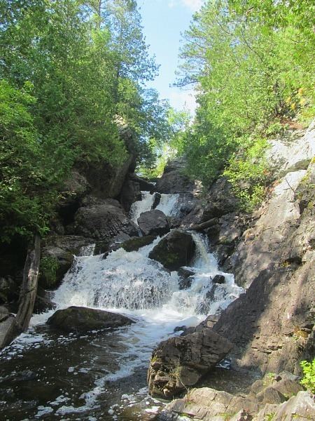
Dave's Falls are located in Marinette County, near Amberg.