
Elevation 151 m (495 ft) Area 17.09 km² Local time Wednesday 3:05 AM Dialling code 06136 | Time zone CET/CEST (UTC+1/+2) Population 4,270 (31 Dec 2008) Postal code 55270 | |
 | ||
Weather 4°C, Wind NE at 5 km/h, 87% Humidity | ||
Ober-Olm is an Ortsgemeinde – a municipality belonging to a Verbandsgemeinde, a kind of collective municipality – in the Mainz-Bingen district in Rhineland-Palatinate, Germany.
Contents
- Map of Ober Olm Germany
- Neighbouring municipalities
- History
- World War II
- Town council
- Town partnerships
- Sightseeing
- Transport
- Telecommunications
- Public Institutions
- Education
- People
- Honorary citizens
- References
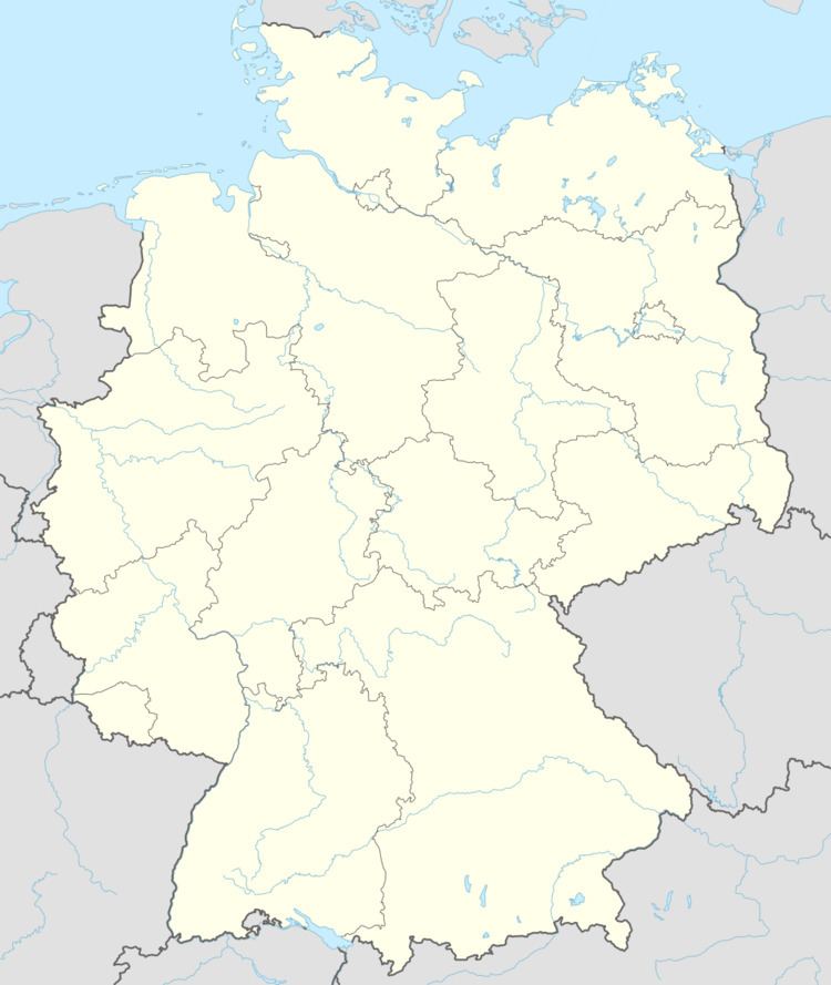
Map of Ober-Olm, Germany
Neighbouring municipalities
Ober-Olm’s neighbours are Mainz-Layenhof, Mainz-Finthen, Mainz-Drais, Mainz-Lerchenberg, Mainz-Bretzenheim, Mainz-Marienborn, Klein-Winternheim, Mainz-Ebersheim, Nieder-Olm and Essenheim.
History
Finds in the municipal area have yielded the first clues to settlers here in the 4th century BC. In AD 97, the former consul Vejento had a temple built to the forest goddess Nemetona near his Klein-Winternheim landholding, a richly furnished Roman settlement in the Ober-Olm cadastral area of Villenkeller. Ober-Olm itself arose in the 6th century as a Frankish establishment and had its first documentary mention in 994. The name “Ulmena Superior” from 1190 was formerly associated with elm trees, Ulme being the Modern High German word for this tree; however, this word was not borrowed into German from Latin (ulmus) until the 12th century. The formation of the placename Ulm and an ending —ena is typical for a brook’s name, and these were often also used as placenames. It can be assumed that Ulmena was the name that the Germanic settlers between Ober-Olm and Nieder-Olm gave the Selz. The few Roman people left still used the name Salusia for the brook, which was the name that eventually stuck to it. Ulmena, however, remained as well, and clove to both the centres now bearing Olm as part of their names.
In 1582, 1603 and 1857, Ober-Olm was destroyed by devastating fires.
Since 1972, Ober-Olm has belonged to the Verbandsgemeinde of Nieder-Olm, whose seat is in the like-named town.
Many ecclesiastical and monastic institutions had landholdings in the municipality, among whom were, for example, Eberbach Abbey, the Maria Dalheim monasteries in Mainz, the Dominicans and the Carthusians, the White Ladies (an order of nuns devoted to Mary Magdalene) in Mainz and All Hallows’ Monastery in Wesel. Furthermore, the Cathedral Chapter in Mainz, the Ravengiersburg Monastery, Saint John’s Church in Mainz, Saint Stephen’s Church in Mainz, Mariengreden, Saint Victor’s and Saint Peter’s were all landholders.
In 2003, the German-Pennsylvanian Association was founded in Ober-Olm. It's also the village, where the German-Pennsylvanian newspaper Hiwwe wie Driwwe is published by the German-Pennsylvanian Archive in cooperation with the Pennsylvania German Cultural Heritage Center at Kutztown University, Pennsylvania.
World War II
During the Western Allied invasion of Germany in April 1945, the nearby Luftwaffe Mainz-Finthen airfield was seized by the United States Third Army, and used by the USAAF 354th Fighter Group which flew P-47 Thunderbolts from the aerodrome (designated ALG Y-64) from 8 to 30 April 1945. Acquired for use by the United States Army after the conclusion of the war, the former German Luftwaffe fighter base was named Finthen Army Airfield and has been used by Army aviation units ever since.
Town council
The council is made up of 20 elected council members, in addition to the unsalaried, directly elected mayor. The mayor has voting rights just like the other council members. The seats divided by party membership:
(as per municipal election held on 7 June 2009)
Town partnerships
There are also friendship arrangements with the following places:
Sightseeing
Transport
Telecommunications
The Ober-Olm Transmission Tower (Fernmeldeturm Ober-Olm) was built as a 70.35 m-tall tower for Deutsche Telekom in 1966. Its nicknames include “Olmi”, “Ober-Olmer Spargel” (Spargel means “asparagus” in German) and “Fernsehturm” (“Television Tower”). It stands at 49°56′31″N 8°10′16″E. In 1990, the transmission tower had another 38 m built onto the top, bringing its current height to 108.35 m.