Elevation 148 m (486 ft) Area 10.51 km² Postal code 55270 Dialling code 06136 | Time zone CET/CEST (UTC+1/+2) Population 3,375 (31 Dec 2008) Local time Wednesday 4:07 AM | |
 | ||
Weather 2°C, Wind W at 8 km/h, 93% Humidity | ||
Essenheim is an Ortsgemeinde – a municipality belonging to a Verbandsgemeinde, a kind of collective municipality – in the Mainz-Bingen district in Rhineland-Palatinate, Germany.
Contents
- Map of Essenheim Germany
- Location
- Town council
- Coat of arms
- Regular events
- Economy and infrastructure
- Transport
- References
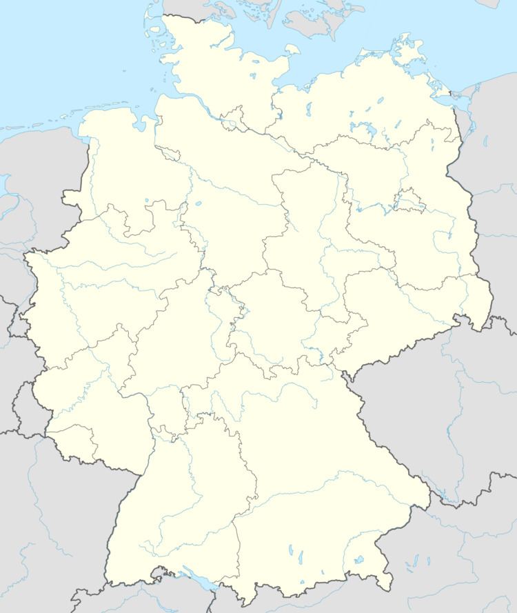
Map of Essenheim, Germany
Location
Essenheim lies in Rhenish Hesse southwest of Mainz. The winegrowing centre belongs to the Verbandsgemeinde of Nieder-Olm, whose seat is in the like-named town.
Town council
The council is made up of 21 council members, counting the part-time mayor, with seats apportioned thus:
(as at municipal election held on 13 June 2004)
Coat of arms
The municipality’s arms might be described thus: Per pale sable and Or two lions combattant, the dexter of the second armed, langued and crowned gules, the sinister with double tail of the third armed and langued azure.
Regular events
The Essenheim kermis (church consecration festival, locally known as the Kerb) was once held in late August, but since 2007, it has been held on the second weekend in September.
Essenheim also celebrates a canons’ festival (Domherrnfest). Besides selected wines, the street and courtyard festival offers a great many culinary highlights with background music by various artists.
Economy and infrastructure
Essenheim is characterized by winegrowing and fruitgrowing.
